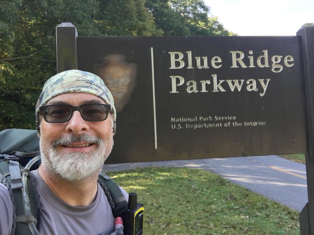
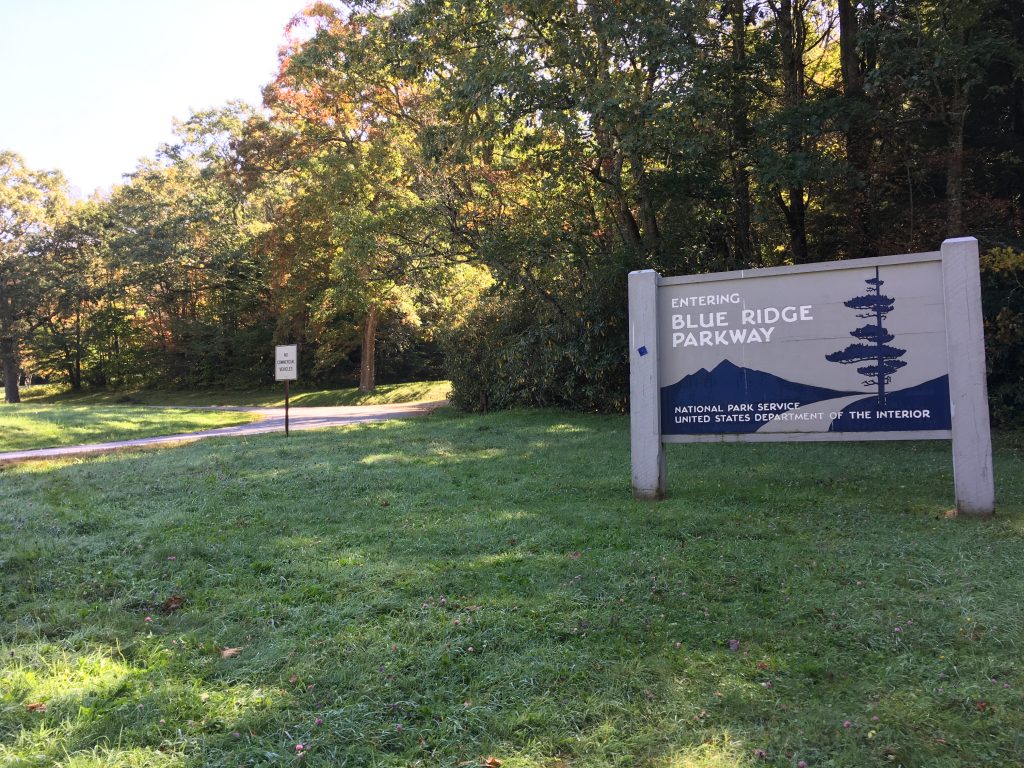
On Monday, September 11, the remnants of Hurricane Irma blew through the Great Smoky Mountains National Park (GSMNP). While the storm had lost much of its power while over land, it was still quite a blow… and made quite a mess of the place. Main roads were closed for a day or two. Secondary roads and some campgrounds were closed for several days. So were large sections of the Blue Ridge Parkway (BRP).
I had a break in my work schedule, my shins were back to 100%, and I was itching to get back on the trail and finish what I had started, with Segment 1A. Irma was the wildcard. I watched the online updates on GSMNP and BRP closings. Things were reopening, but it was taking some time. On Thursday 9/14, I called the GSMNP backcountry office.
“Yeah, there are probably a lot of trees down, but you’ll probably be fine. We don’t know when Balsam Mountain Campground will reopen, but probably by early next week.”
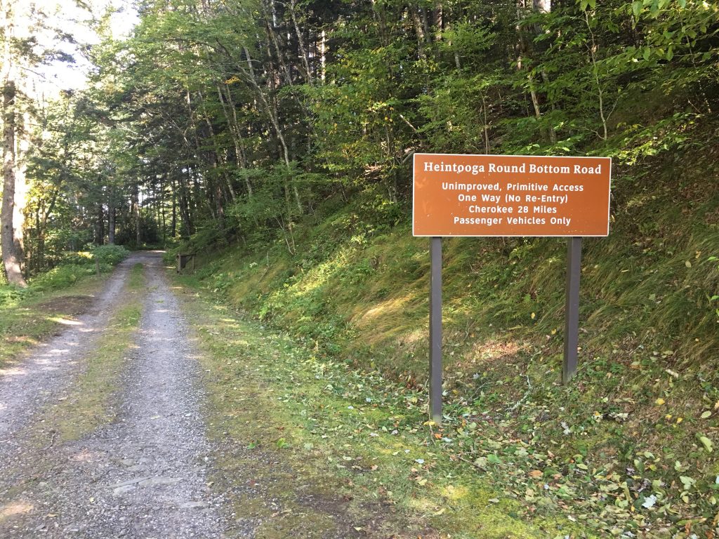
Wow, that was definitive. There was also no solid estimate for when the BRP in that area would reopen. And Mile High Campground was closed because the BRP and Heintooga Ridge Road were closed.
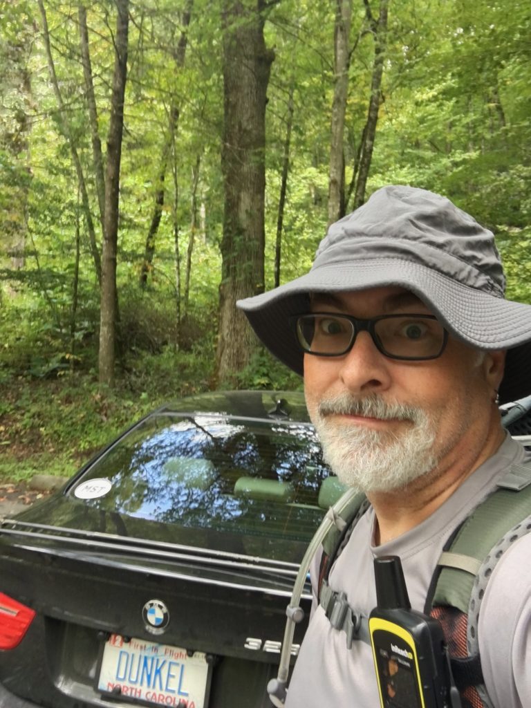
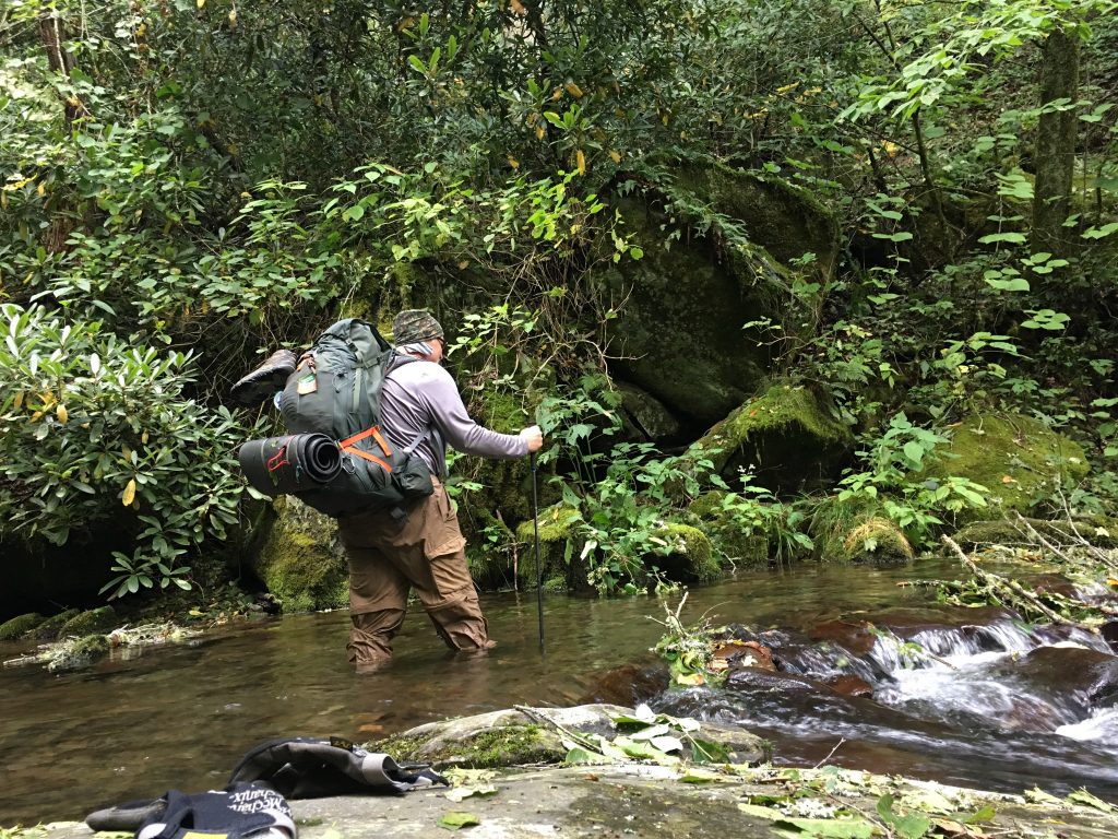
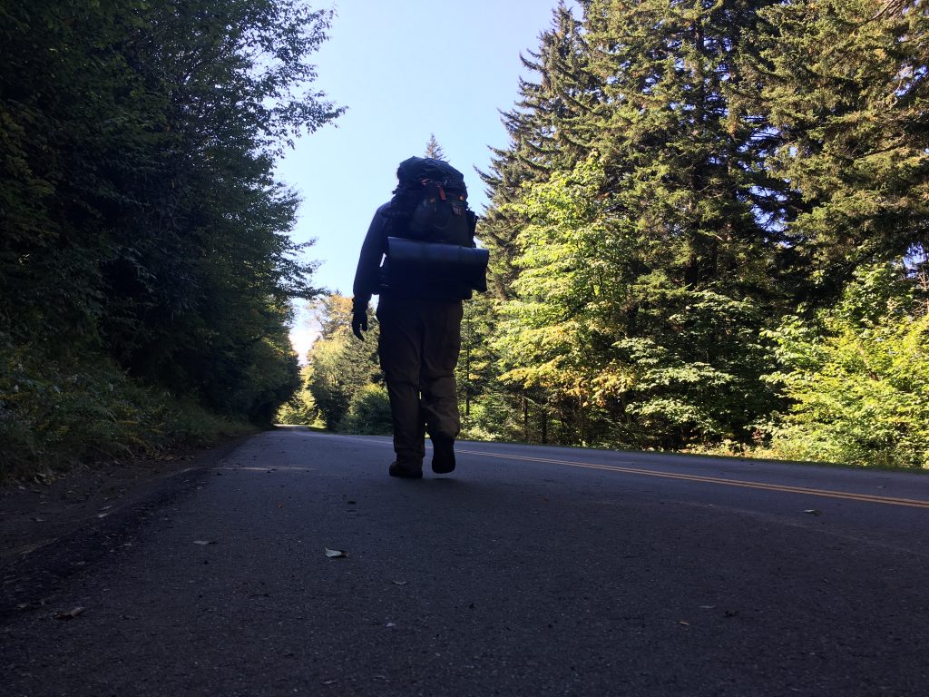
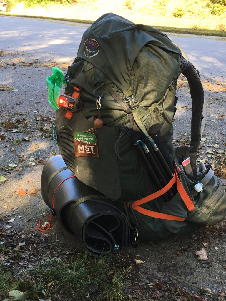
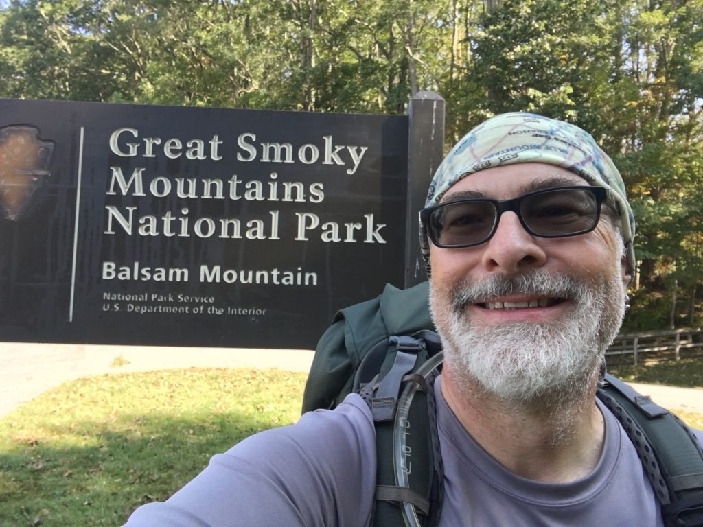
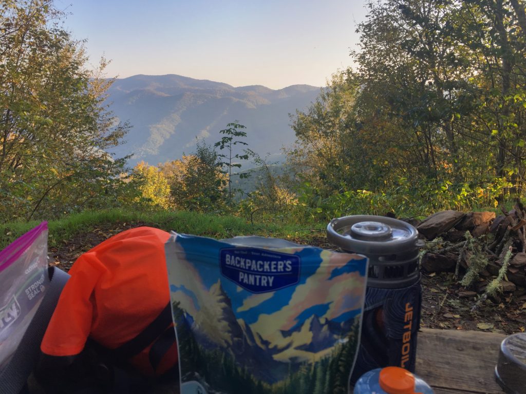
In my first attempt on Segment 1A, I planned everything meticulously. And then reality intervened and blew all those plans to hell. This time, I decided to let go of feigned control, and go with the flow. I had a plan… but knew reality wasn’t likely to work out quite that way. I knew it was entirely possible I’d get into the backcountry, find impassable conditions, and have to reverse or alter course. So be it. I made some backcountry campsite reservations, packed my backpack, got up early on Friday 9/15, and drove to Smokemont.
Day 1
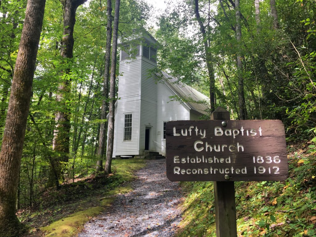
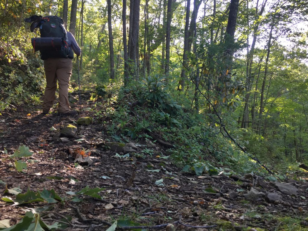
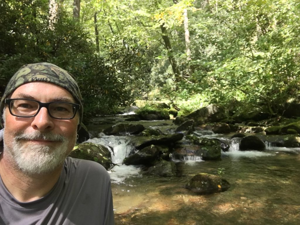
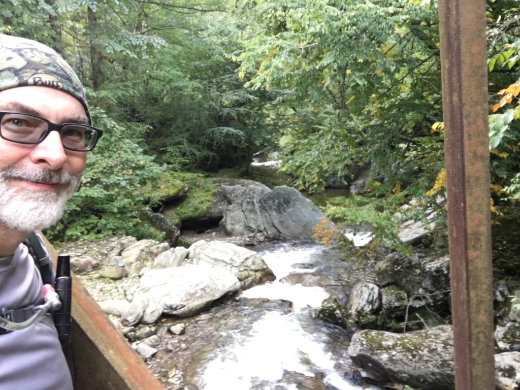
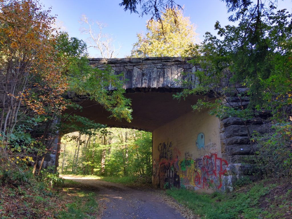
I stopped for lunch in Cherokee, and made it to Smokemont about 1:30PM. I only planned for about 4 miles on the first day, from Smokemont to Upper Chasteen Creek. I parked at the trailhead near the historic Lufty Baptist Church, loaded up, and headed out.
The Lufty Church quite pretty, and rustic. The sound inside is amazing.
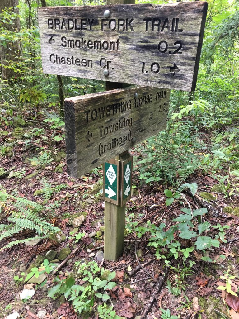
The first section of trail is on Smokemont Stables Trail, and is used for horseback tours from Tow String. So you have to dodge a few hazards now and then. It’s also on the Benton MacKaye Trail. It skirts around and above Smokemont Campground, and eventually puts you on Bradley Fork Trail. The MST guide directs you on the road through the campground… but where’s the fun in that? This is a better alternate route, IMHO. They both go the same place.
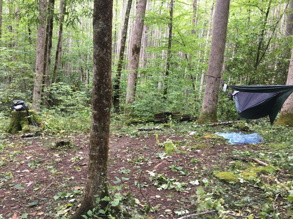
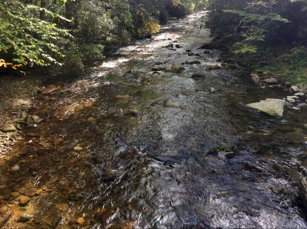
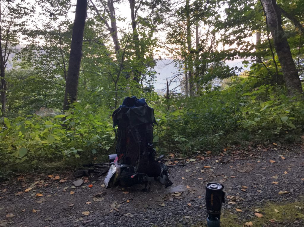
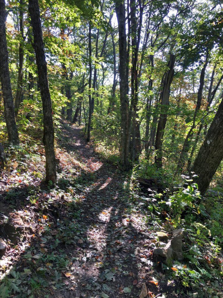
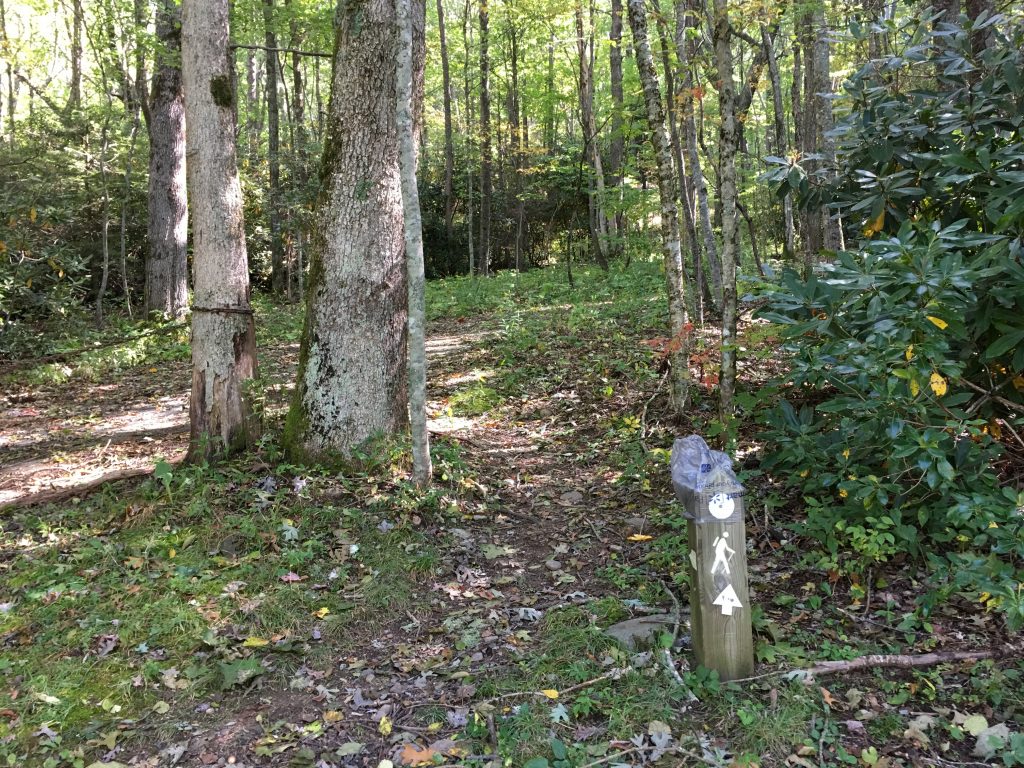
After about a mile, you merge onto Bradley Fork Trail, and head toward Chasteen Creek. In about another mile, you reach Chasteen Creek Trail and begin the climb up along Chasteen Creek. You pass the Lower Chasteen campsite #50, and after about 2 more miles and 1800 feet of climbing, reach the Upper Chasteen site #48.
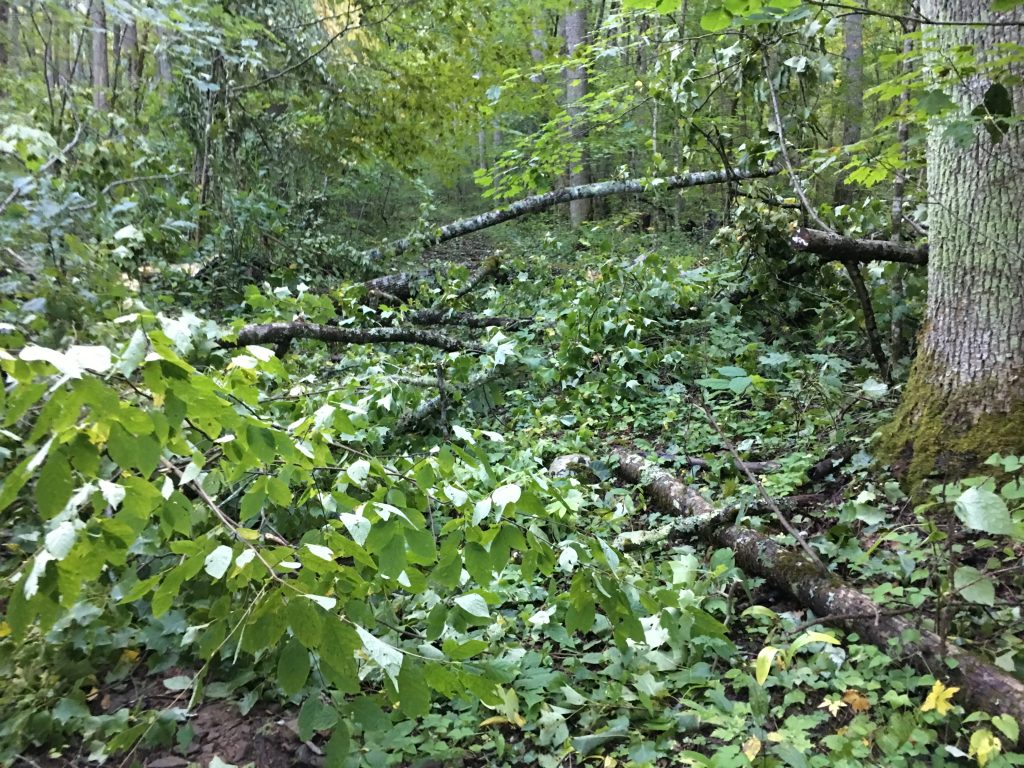
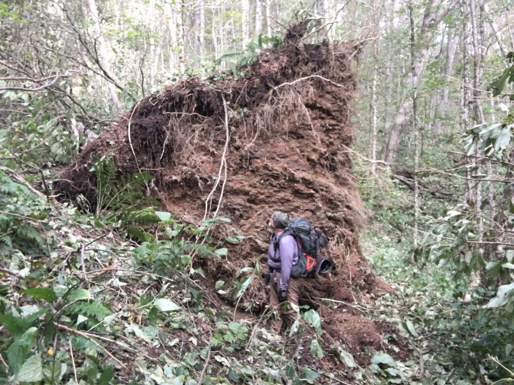
The last time I was out, I was all alone at the Poke Patch and Newton Bald campsites. At Upper Chasteen, there were two other groups: a cute young couple who had already setup by the creek, and two guys from Indiana who arrived later and setup near me. A day hiker passed by and yelled to us from the trail that there were LOTS of trees blown down ahead, that it was “REALLY BAD.” Well, not what I wanted to hear, but not unexpected.
Day 2
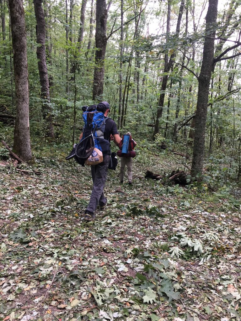
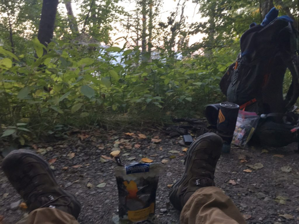
It was a quiet night, thanks to my earplugs (a welcome new addition to my pack!). I slept pretty well, and wasn’t cold. I woke up early, before dawn, made breakfast, and broke camp. I was on the trail before any of my neighbors were up… and never saw any of them again. Nothing hurt yet! I started up the mountain… and started encountering “blow-downs.”
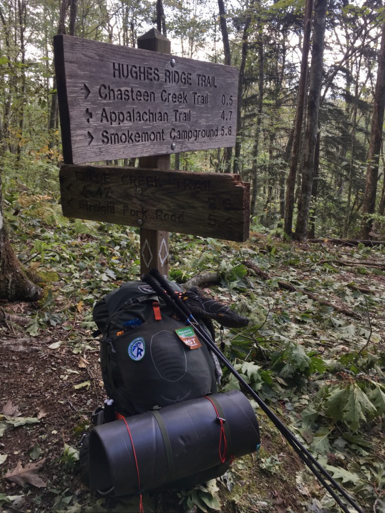
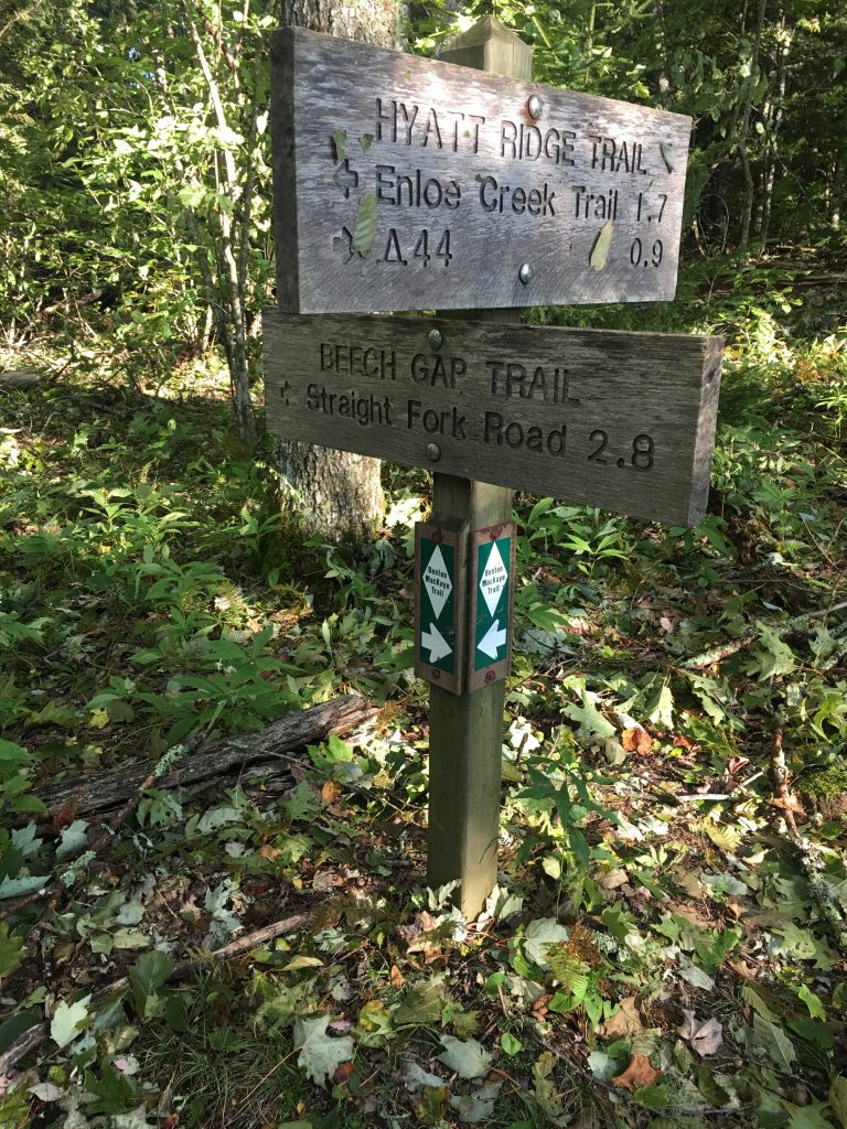
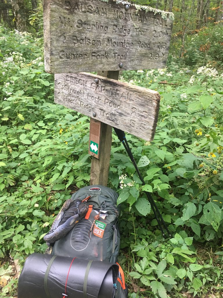
My objective for today was to climb to the top of Chasteen Creek Trail, do a short segment of Hughes Ridge Trail, and then take Enloe Creek Trail down to Enloe Creek and Raven Fork, then Hyatt Ridge Trail to MacGee Spring campsite #44, about 8 miles, 2200ft of climbing and 1300 ft of descent.
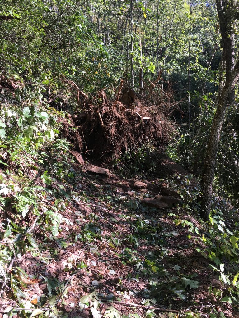
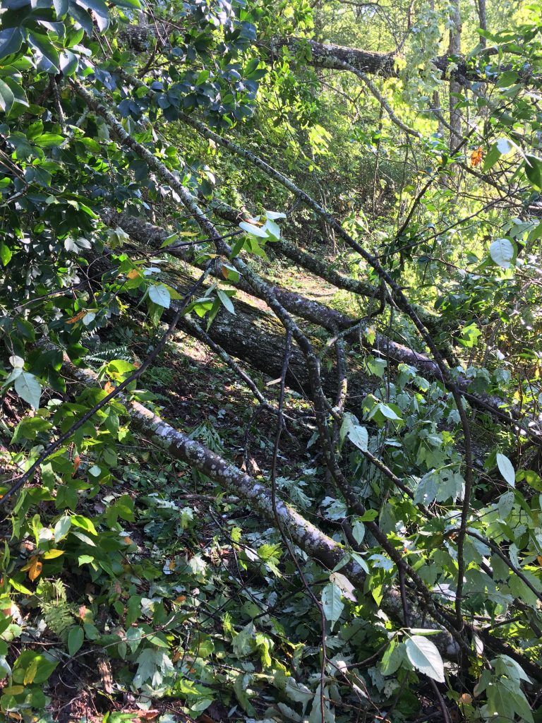
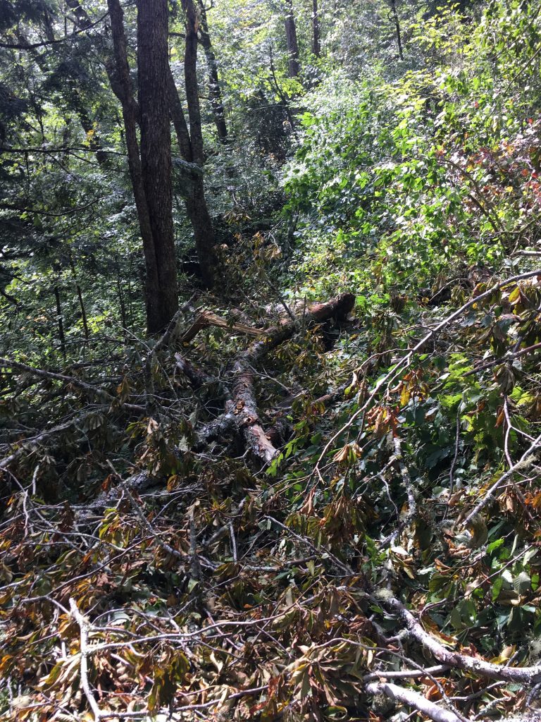
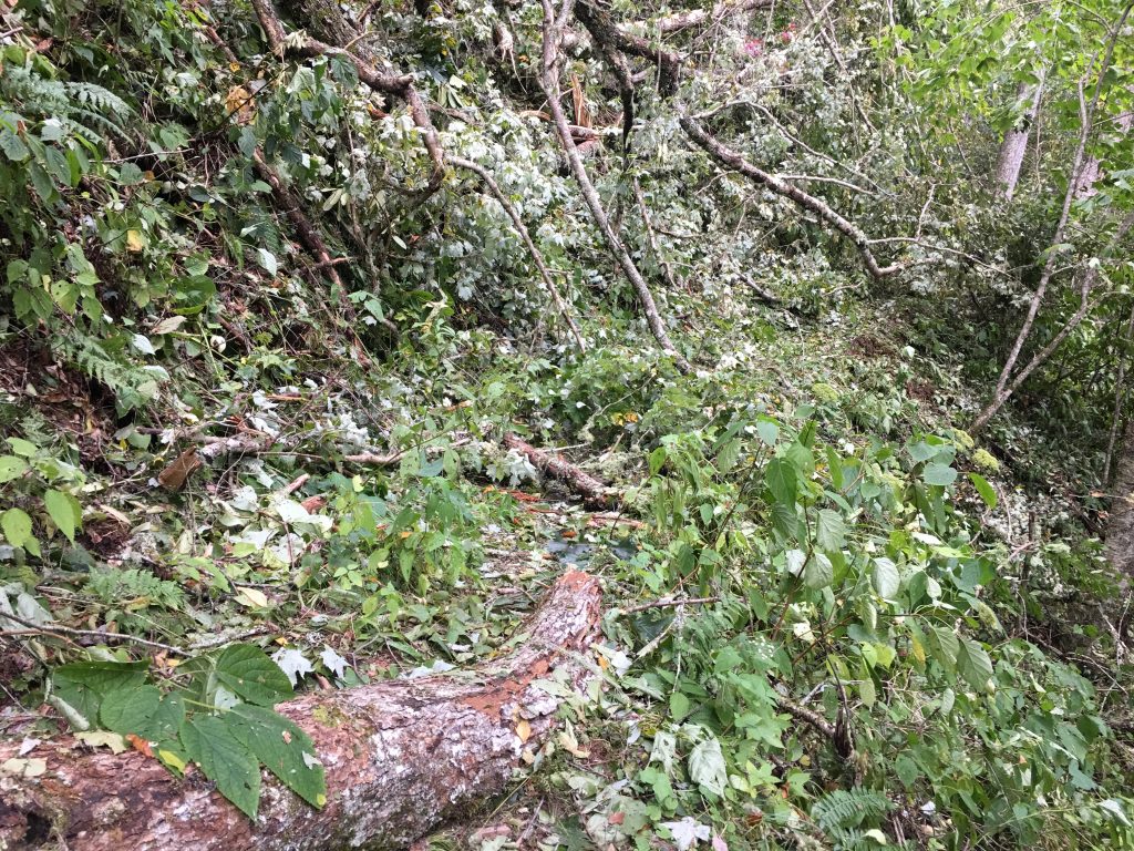
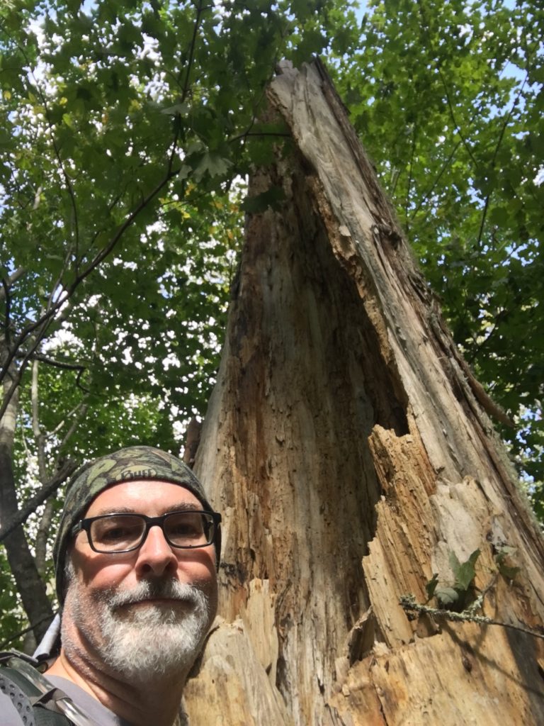
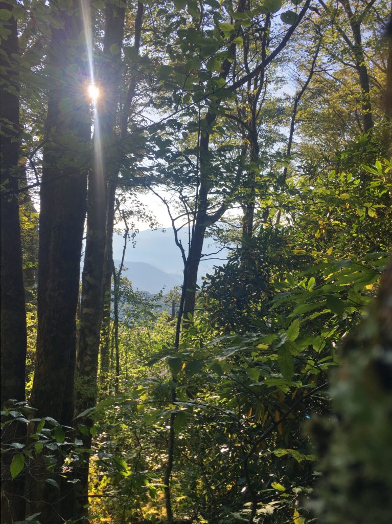
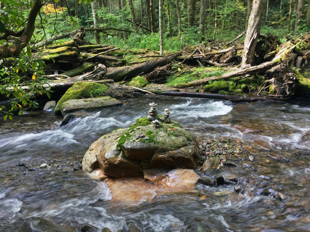
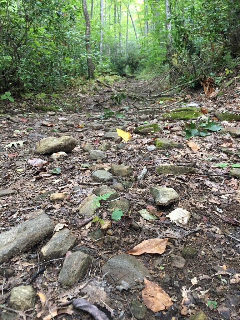
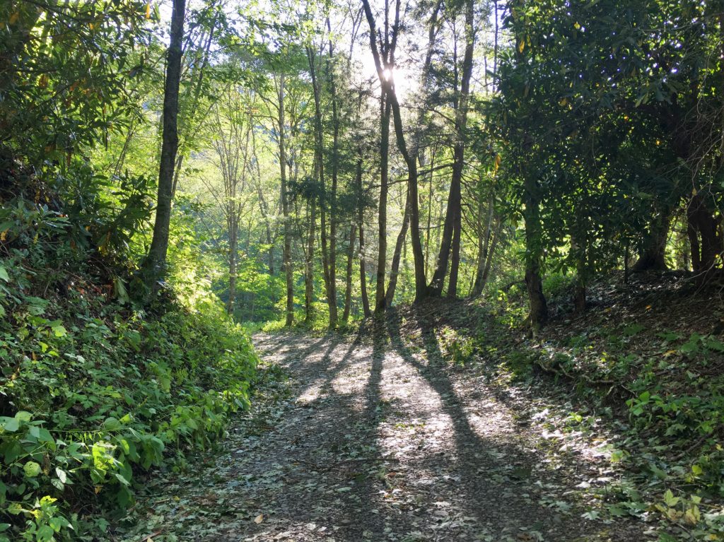
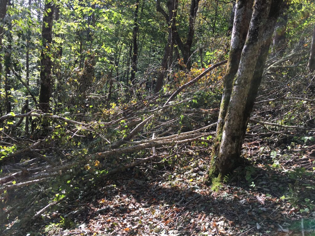
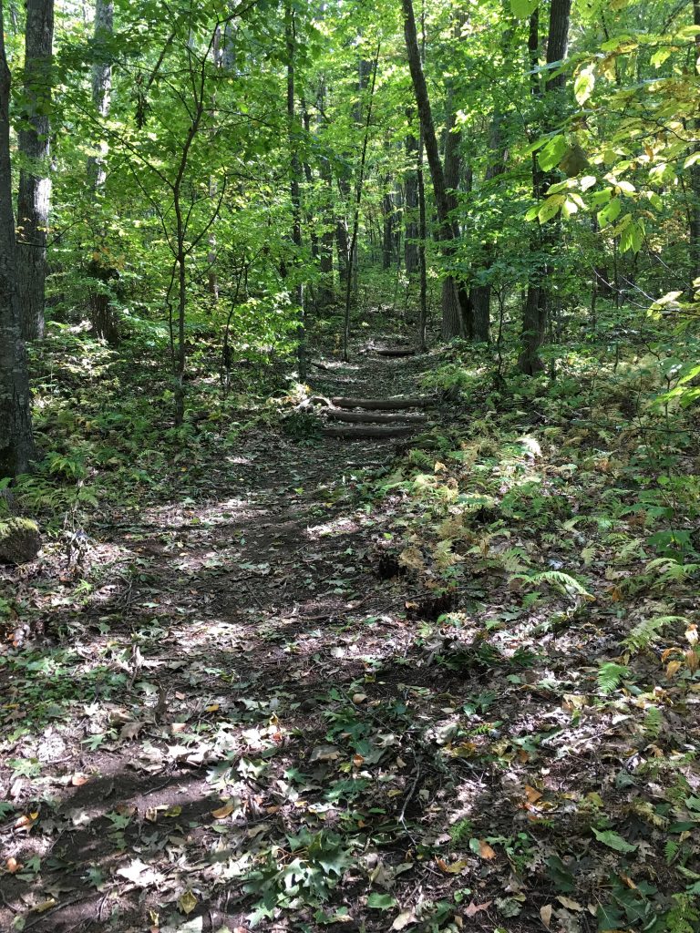
This was a beautiful day of hiking. It was also incredibly strenuous and slow going… because of Irma. There were about 30 large blow-downs across the trail, most on Enloe Creek trail. Some of them were immense, and several required serious, somewhat hazardous work to get around/over/under/through. By the end of the day, I felt like I was competing in Smokies Ninja Warrior. But it was a great adventure.

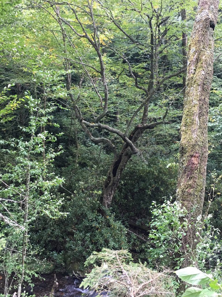
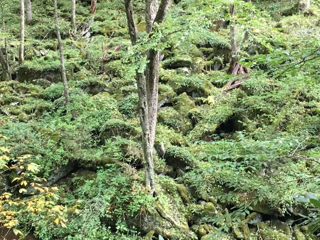
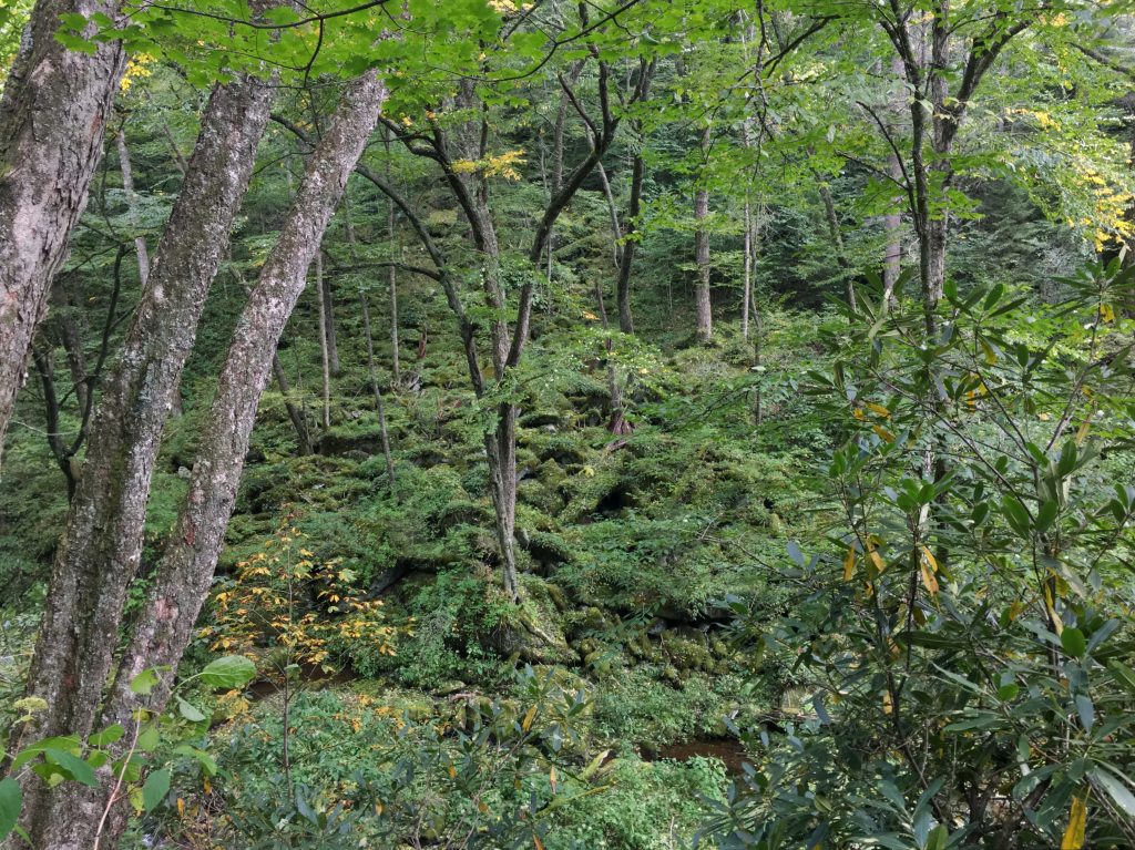
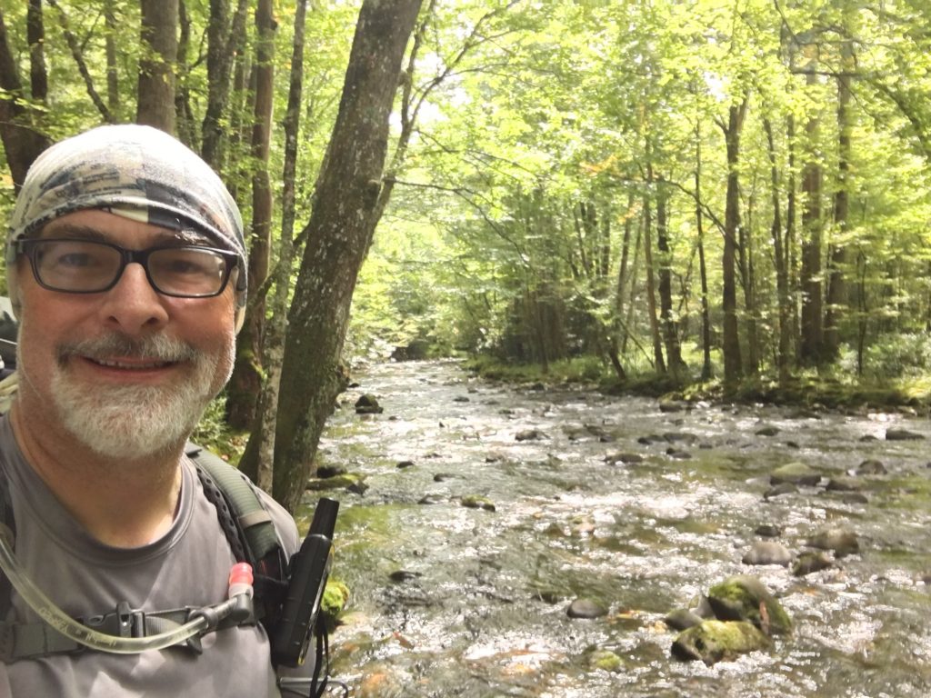
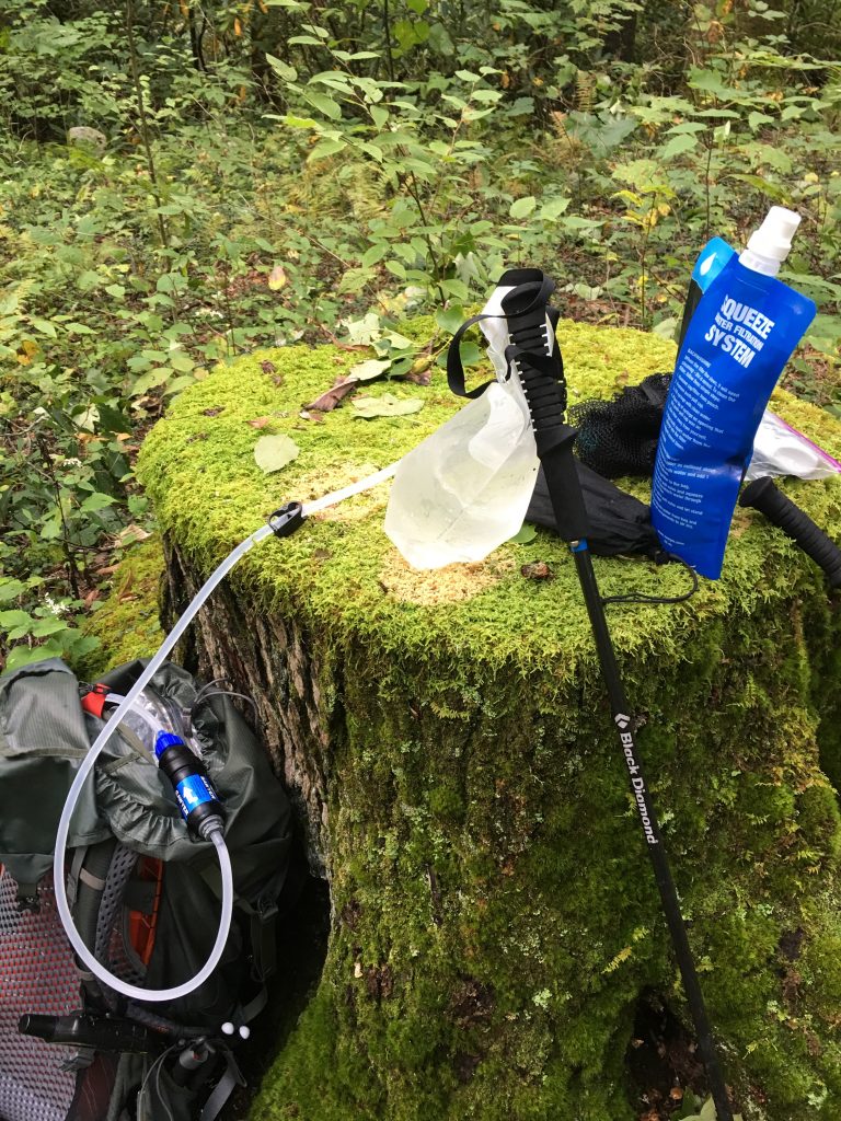
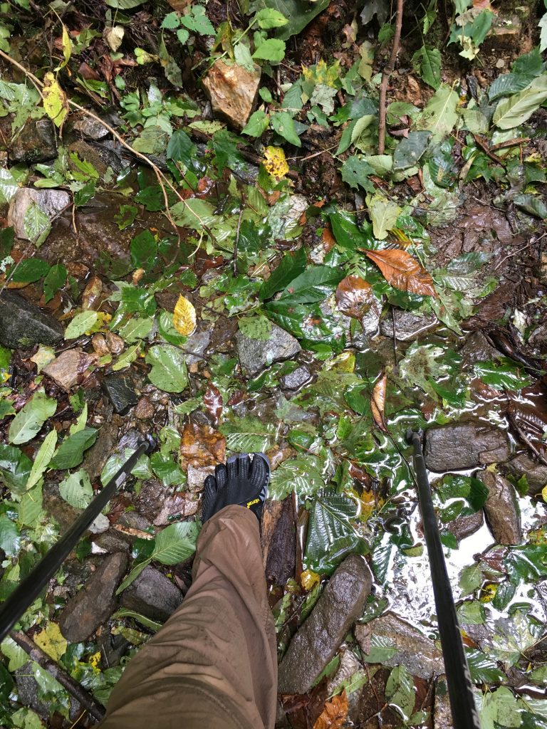
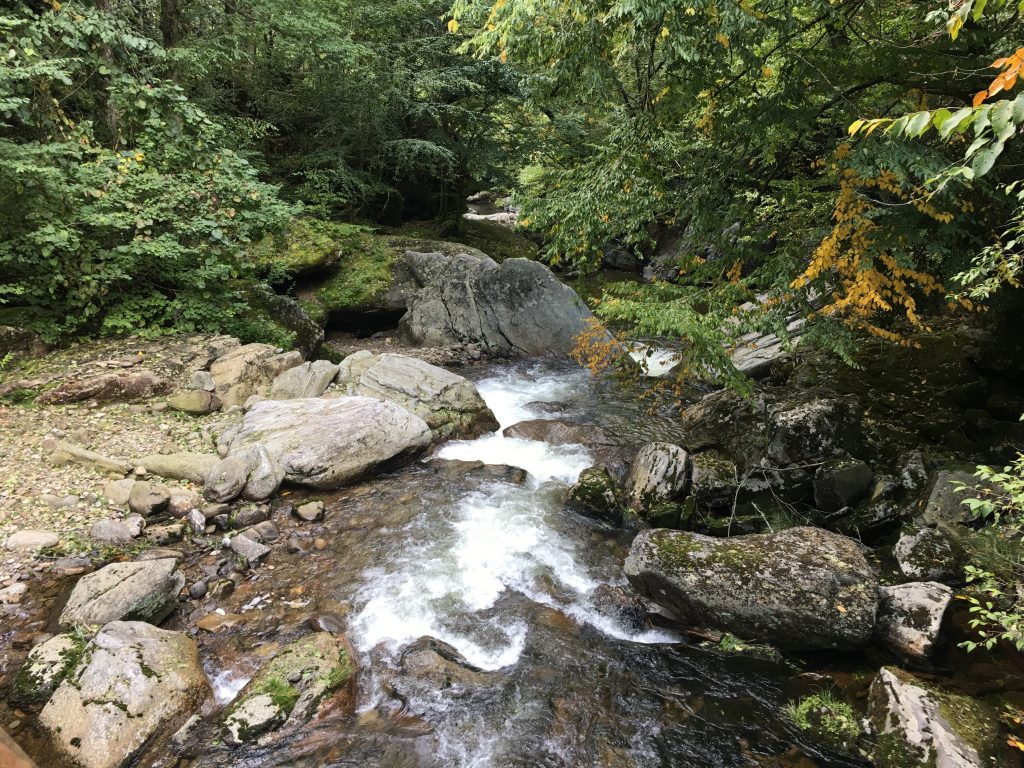
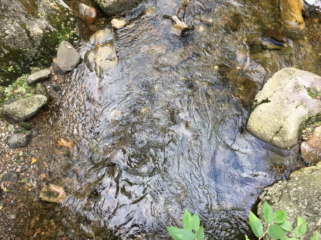
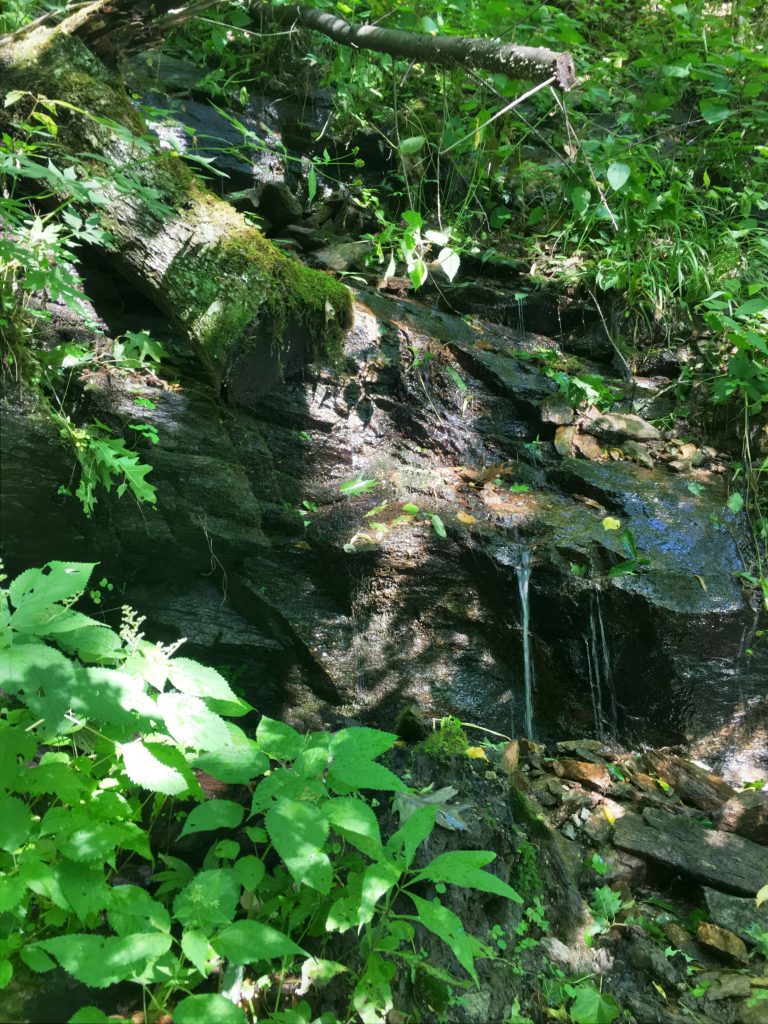
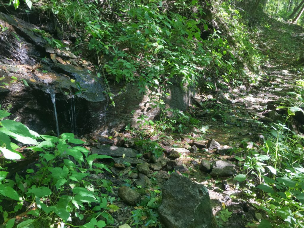
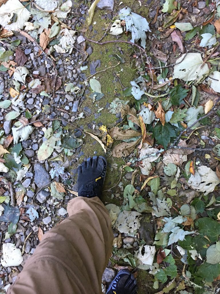
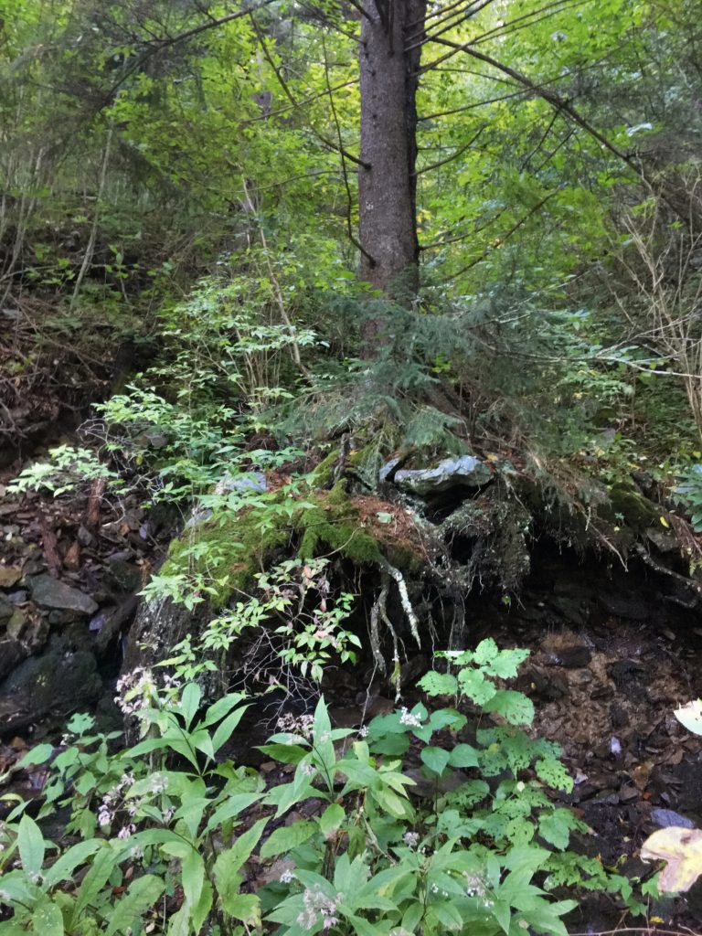
Enloe Creek is really beautiful. The trail parallels the creek for quite some time, and you get to view lots of cascades and small waterfalls from a distance. Eventually you make it all the way down to the creek. There’s a large flat rock I could hop to in the middle of the creek, for a rest break, water refill and snack. Then I donned my FiveFingers, and went wading… almost knee deep to the other side.
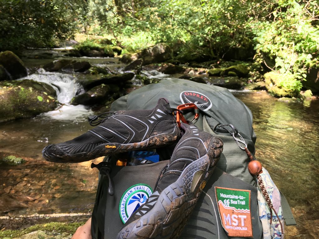
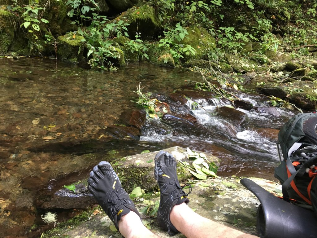
I kept the FiveFingers on for the next mile or so, as the map showed a few more water crossings. It turned out that none of them were significant and I could have worn boots, but it was nice to rest my feet and legs for a while with the light shoes on.
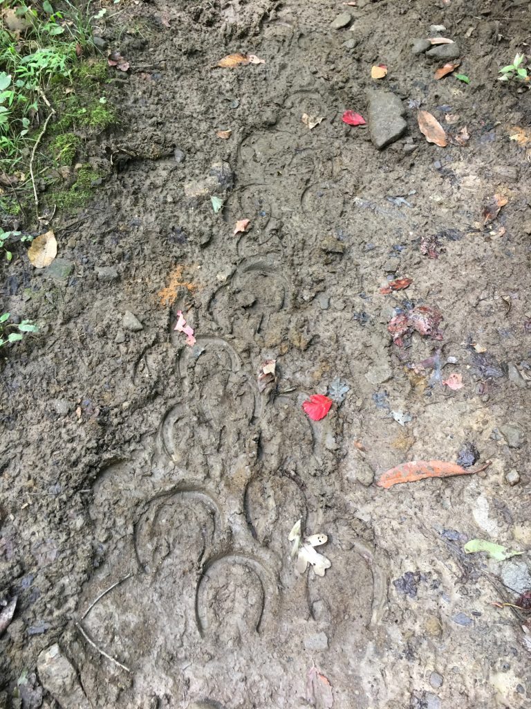
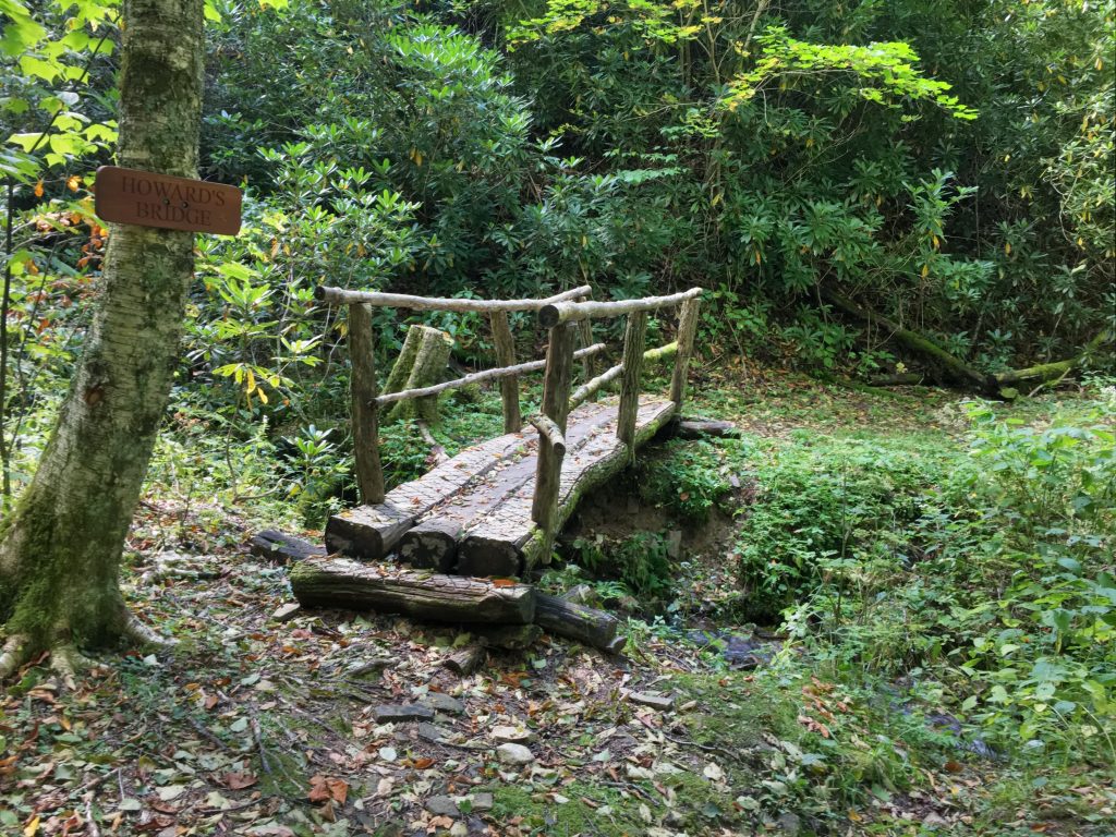
Campsite #47 is right beside the Raven Fork Bridge. It’s a horse campsite, but there were no horses anywhere around (all the down trees made sure of that). There were two nice guys from Ohio, who had been camped here a couple of days, fly fishing. I talked with them for a few minutes here, and again at the top of the next climb (we were all headed up the mountain). They’ve been coming down to the Smokies to fish for many years, and seek out the remote trout pools that are rarely fished. Pretty cool.
The climb up to Hyatt Ridge was pretty strenuous, about 800 feet over a mile or so. After a break at the top with the fisherman, we parted ways. They had about 2.5 miles back down the mountain, to a road and their car. I had a few more miles up the ridge to my campsite.
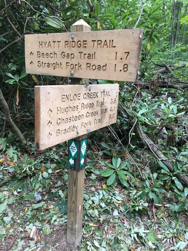
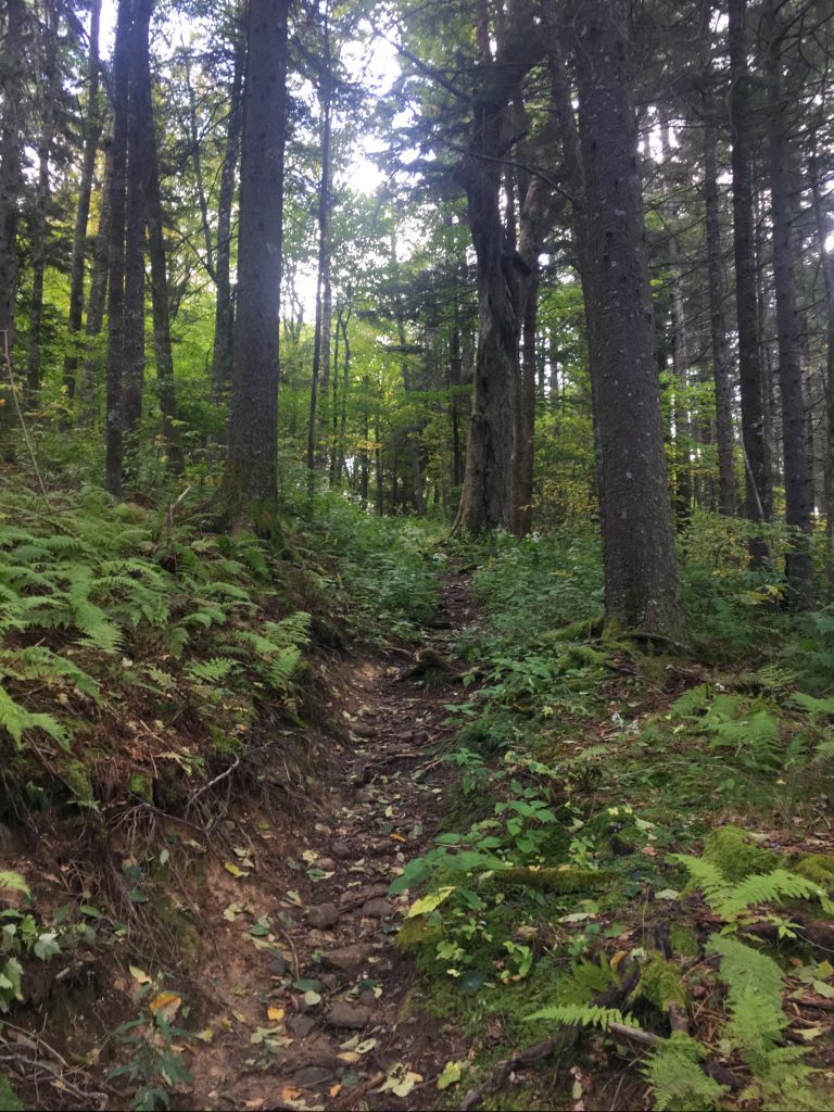
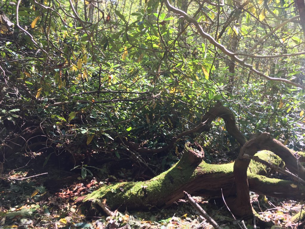
Hyatt Ridge Trail had a few blow-downs, but not as bad as Enloe Creek. Eventually I made it to the turn-off for MacGee Spring. It’s almost a mile spur trail to the campsite, it climbs to the top of Hyatt Bald, then continues down the ridge to a large campsite at the spring. Really nice camp area, really nice spring, and I had it all to myself. I saw a few wild turkeys on the trail not far from the site. The campsite was eerily quiet. No insect noise, like every other site I’ve been to. Just a very inquisitive owl who visited a few times during the night. I slept like the dead, thanks to earplugs.
Day 3
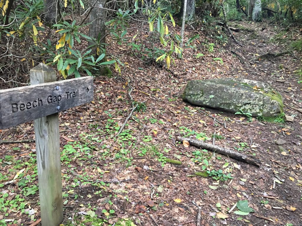
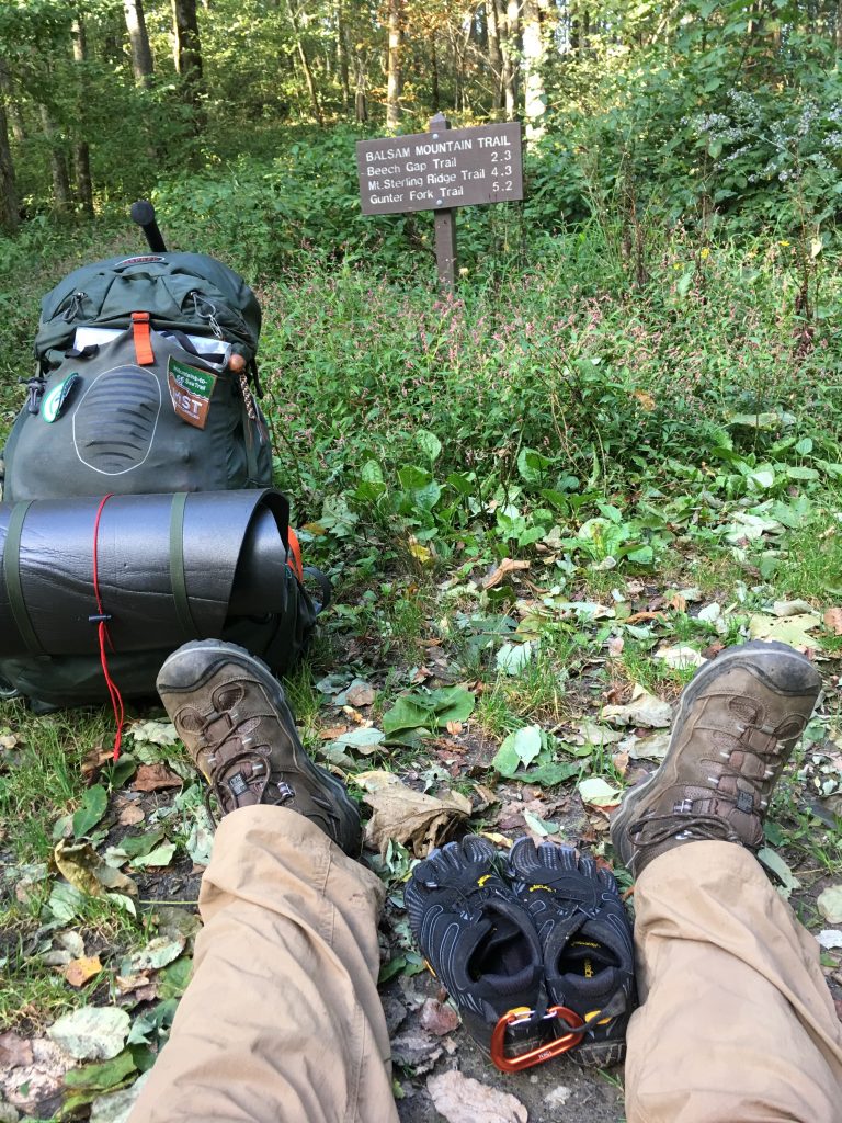
Rose early again, ate, and broke camp. Today would be my longest day: 11-12 miles. I backtracked the mile from MacGee Spring to Hyatt Ridge, then headed down Beech Gap Trail toward Round Bottom, where there is a road and trailheads.
Met a couple of day hikers on the way down. One of them was local and quite friendly. He asked what I was doing. I told him my plan for the day. He talked me out of climbing to the campsite at Spruce Mountain. Said that was a very hard hike at the end of a very long day, with no real benefit (it’s not part of the MST, just a spur to the campsite). He encouraged me to just make camp off the side of Balsam Mountain Road, which he said was still closed to traffic. Sounded like a good plan.
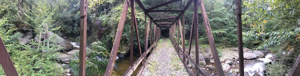
After the descent to Round Bottom, I crossed the bridge, found the trailhead to start back up the other side of Beech Gap Trail (this side actually goes to Beech Gap), and stopped for a break and snack. A cute couple of day hikers stopped and asked me to take their picture… I happily did. I eventually decided the mountain wasn’t going to climb itself, and headup up the trail toward Beech Gap.
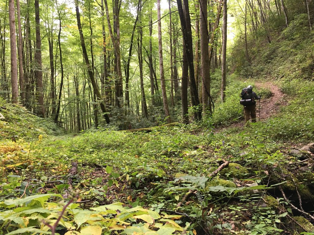
This was the toughest climb I’ve done so far. About 2000ft of ascent in about 2.5 miles. Parts are ridiculously steep. Pictures don’t do it justice, but I’ll try, anyway.
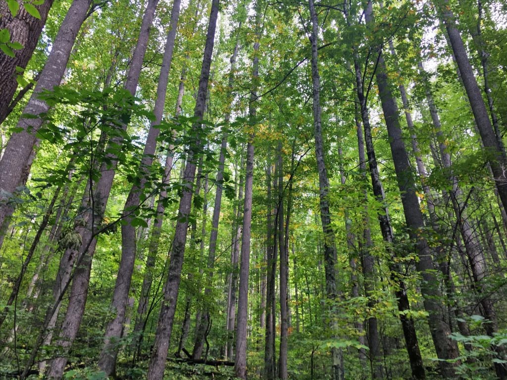
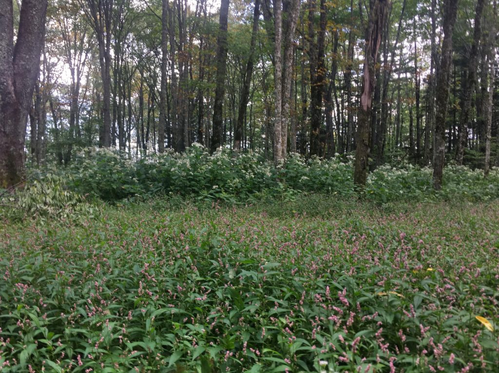
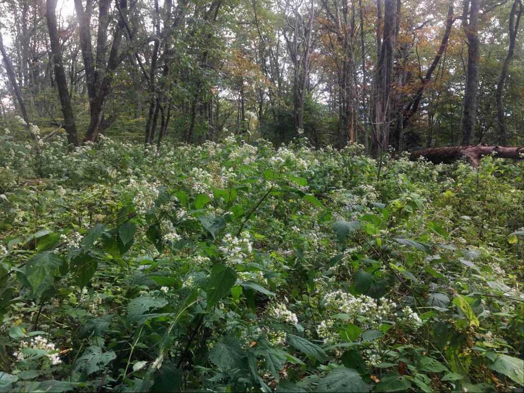
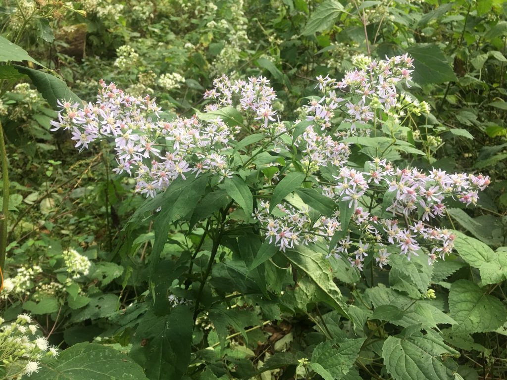
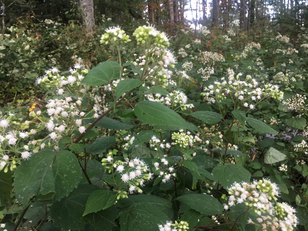
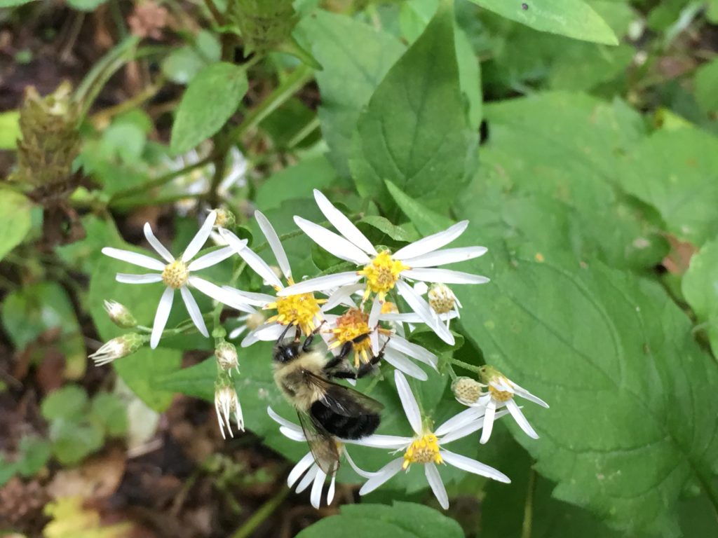
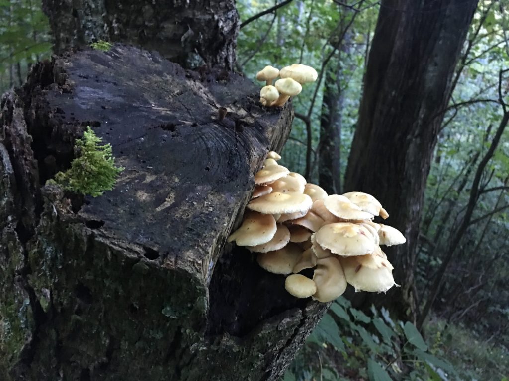
This climb took almost 4 hours, with breaks along the way. The flora was extraordinary at Beech Gap and slightly higher on top of Ledge Bald. Flowering plants everywhere, and countless bees pollinating.
Finally crested Ledge Bald and headed back down the mountain. Pretty steep. Stumbled and twisted my right ankle… just a little. Just enough to remind me to stop and put the brace back on. I walk like I have a mountaineer boot on that foot with the brace, but it’s good insurance.
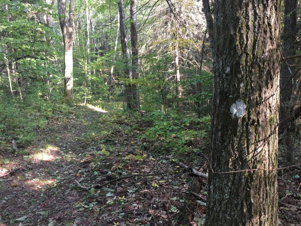
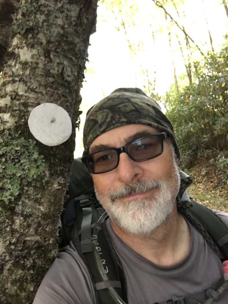
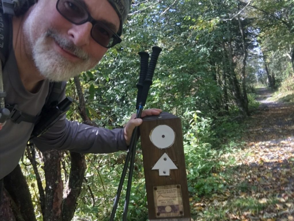
On the descent, saw my first White Dot – a real surprise. Someone put this here. The MST White Dot blazes aren’t really supposed to start until the trail reaches Cherokee Indian lands… but I was delighted to see it. I got kinda stoked.
Took a little over an hour to descend, and I emerged on Balsam Mountain Road, with mixed emotions. This was the end of my GSMNP single track hiking. The next two days would be on the road, then a day on Cherokee and BRP land to Waterrock Knob. I was elated to have “survived” the GSMNP backcountry hiking… but sad it was over. I’ll be back for more Smokies hiking. It’s extraordinary.
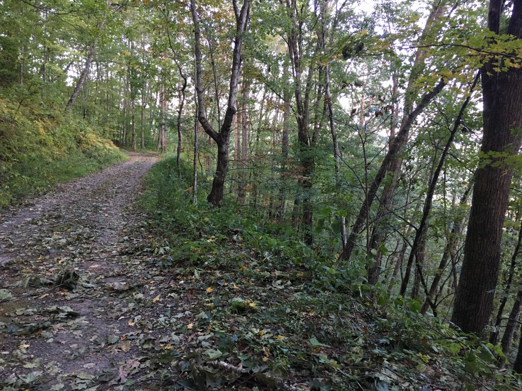
I was DONE with boots for today. Took them off, put on the FiveFingers, and headed up Balsam Mountain Road. Since I had decided I wasn’t going to Spruce Mountain, I could really stop any time now… but wanted to find more water. I had plenty to make it thorough the night, but would feel better about using water to cook once I replenished.
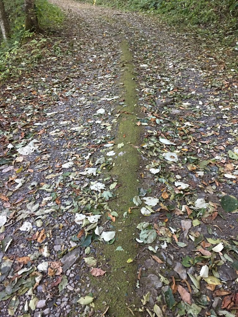
Saw some wild turkeys on the road, and not much else. This section of of the road is dirt and gravel, and one-way. I could see where crews had recently cleared all the large trees off the road, just small branches and leaves left. The mossy raised center ridge of the road made a nice place to walk in the FiveFingers.
After a couple of miles, I got to where the topo map said I should find a creek… and there was nothing. Ugh. I kept walking, and it was starting to get dark. After about another half mile, I found water. Seems the branch running down the mountain has changed course a bit, current location doesn’t match the topo. Whatever. I happily refilled my reservoir, then my mission became finding a suitable campsite. Off the roadway, the mountain sloped up and down. No level ground. No well-spaced trees for the hammock right along the roadside. After about another half-mile, I came upon a turn in the road where there was a fairly level part of the ridge that extended outside the corner for a ways. This looked like my best option. I put on my headlamp as it was now well into twilight, and scoped it out.
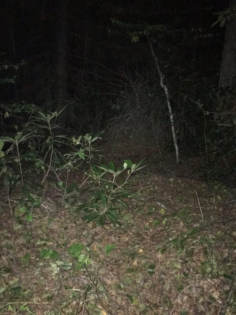
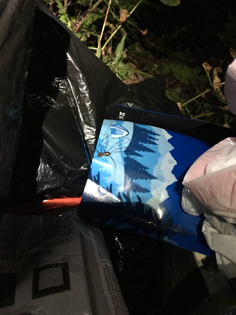
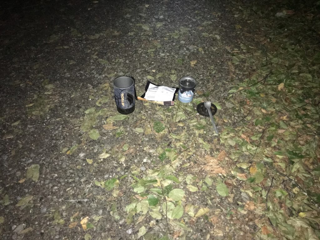
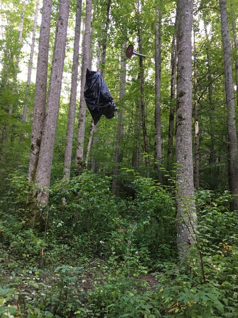
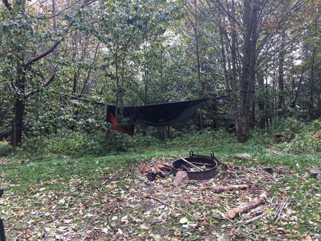
It was a briar patch. And, billion spiders. But I wasn’t going to find anything better tonight. Figured out a couple of trees that would work for a hammock hang, cleared a few briars that would be in the way, and got the hammock up. There was no clear space to work on dinner, so I made dinner in the middle of the road. I was trying a different dinner entree tonight from a new brand… and it was disgusting. I ate a few bites and decided it wasn’t worth it. I was too tired to be hungry, anyway. I tossed a paracord line over a tree limb and hung my pack (since there were no bear cables here), changed clothes, and zipped into my spider-proof hammock. Earplugs in… time to sleep.
Even without the climb up Spruce Mountain, I ended the day at about 11.5 miles, 11 hours, 3200ft climbing, 3400ft descent, 33,000 steps. Long day.
Day 4
I awoke in Aragog’s Lair at about 4:30AM. I looked at my map, wrote some notes from yesterday, and got up about 5:30. I had no interest in breakfast in the dark. I broke camp, and started walking, by the light of my headlamp.
I started out with delusions of grandeur today. It’s only about 6 miles up this dirt road to Balsam Mountain Campground, and another 9 on pavement to Mile High Campground. 15 miles is a long way, but I’m getting an early start, and it’s all on good surfaces with relatively easy grades. If I could do all 15, I could finish a day earlier than planned. I decided to not decide yet, and see how I felt when i got to Balsam Mountain.
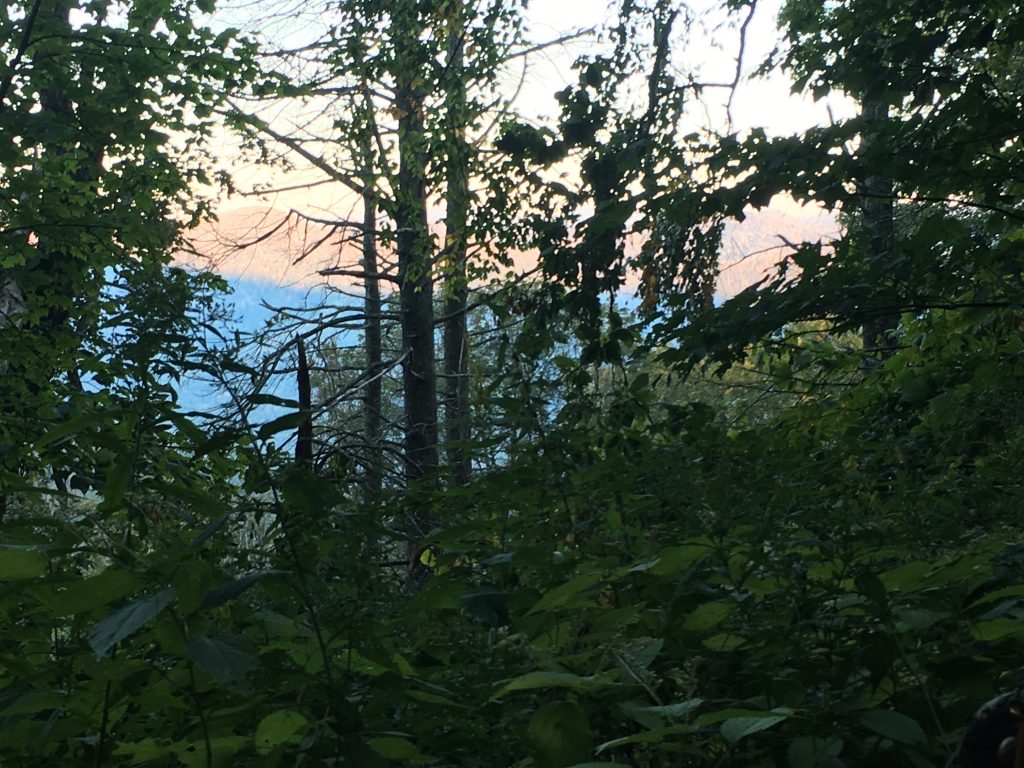
At dawn, found a spot with a nice view, stopped in the middle of the road, and made breakfast.
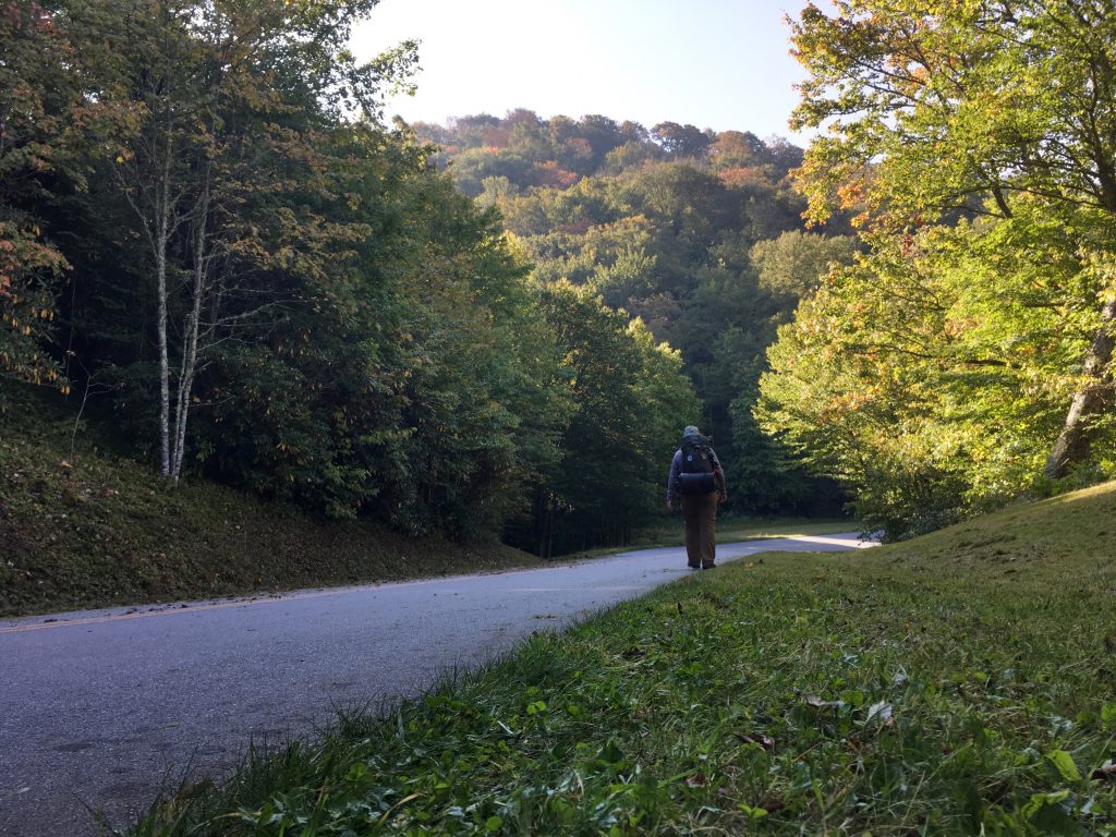
Then started back walking. While this was definitely easier walking than the single-track climbs, it was still a climb, and I still had a heavy pack. I decided pretty quickly that 15 miles wasn’t going to happen today. I should make Balsam Mountain by early afternoon, and I can have a short day for a change, and some rest.
Civilization!
What am I most excited about? Dumping half-a-pound of garbage.
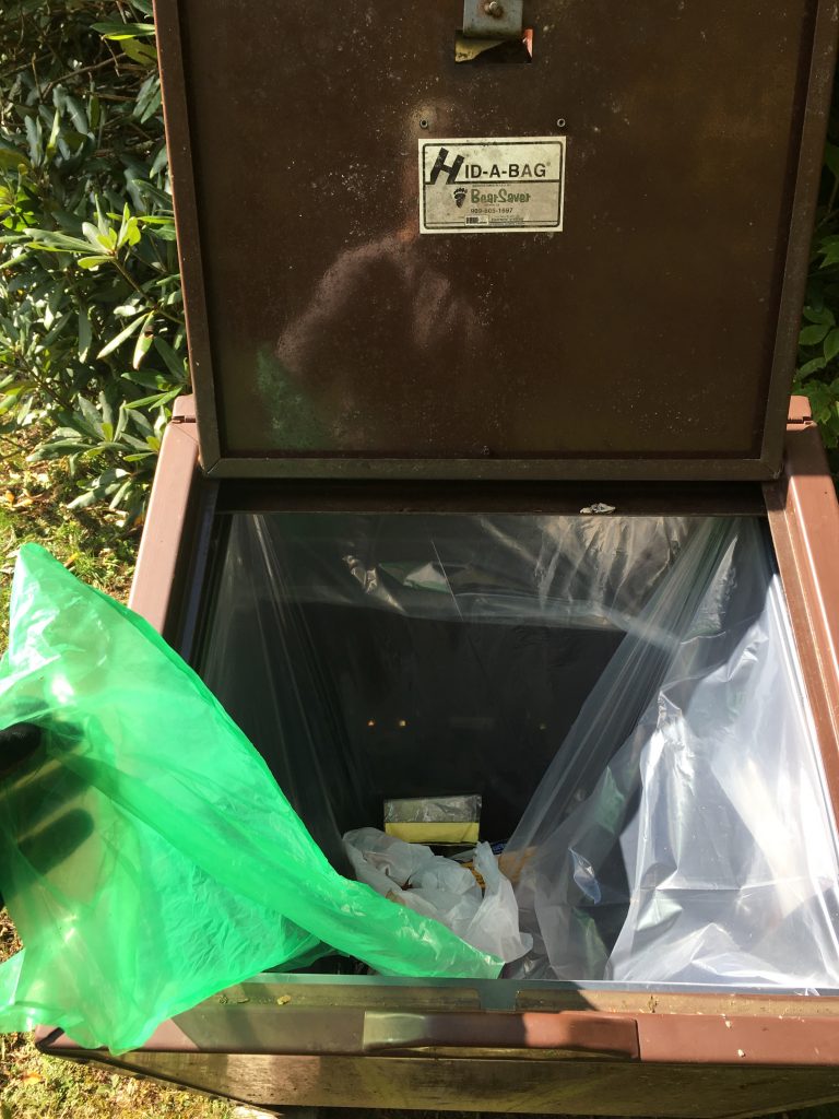
Another quarter mile to the campground.
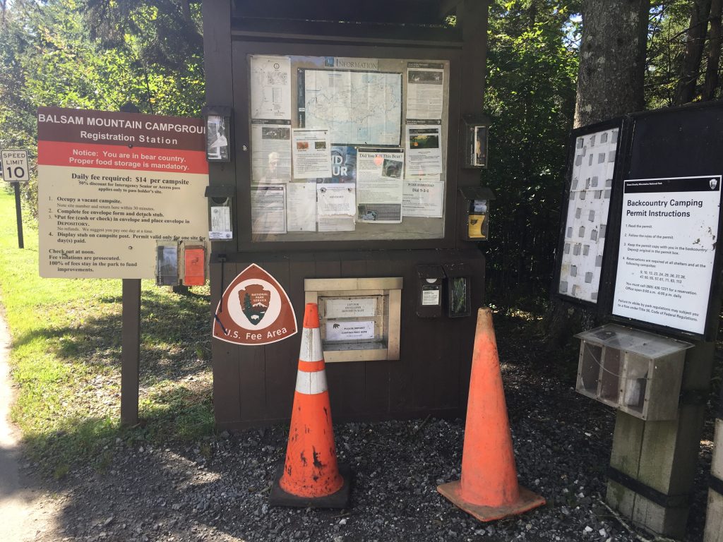
It was early afternoon, and the campground was almost entirely empty, so I got my pick of sites. There are several tent sites in the back for motorcyclists, bicyclists and hikers; each site there has a bear box. I picked a site with no one around… and immediately a van-load of people appeared, and claimed two sites right next to me… SERIOUSLY???
I setup camp and spent the afternoon chilling and reading.
My neighbors turned out to be lovely folks from Missouri – a retired Sheriff, a soon-to-be-retired circuit judge, and their retired wives. Real outdoors types who usually go on canoe trips together, but decided to do something different this year. They offered me pounds of food I didn’t need (I politely declined), but I couldn’t pass up joining them for kabobs and hash browns for dinner.
I turned in early and slept well.
Day 5
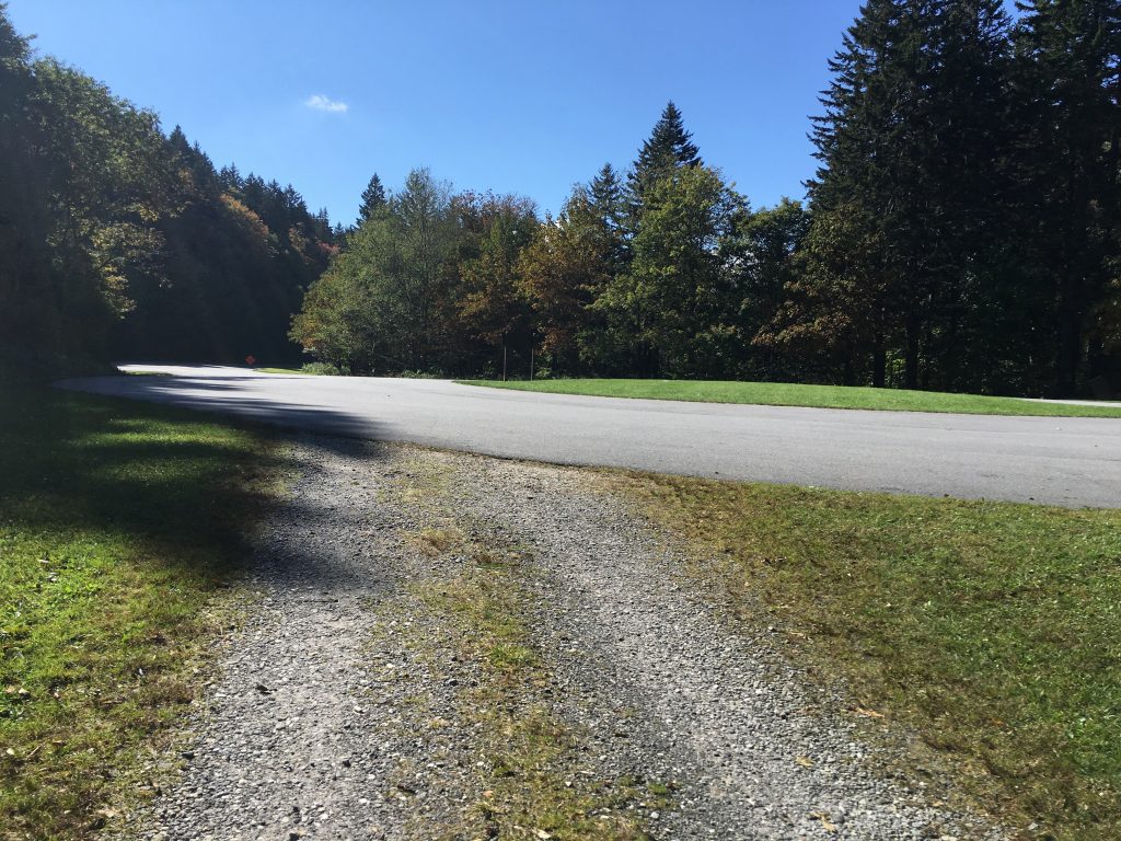
I thought this would be a pretty dull day. About 9 miles, with 1200ft up and 900ft down, trekking out Heintooga Ridge Road. I setup my headlamp on my pack, as a flashing red beacon. Because it would suck to survive the backcountry, and be hit by a car on the paved road.
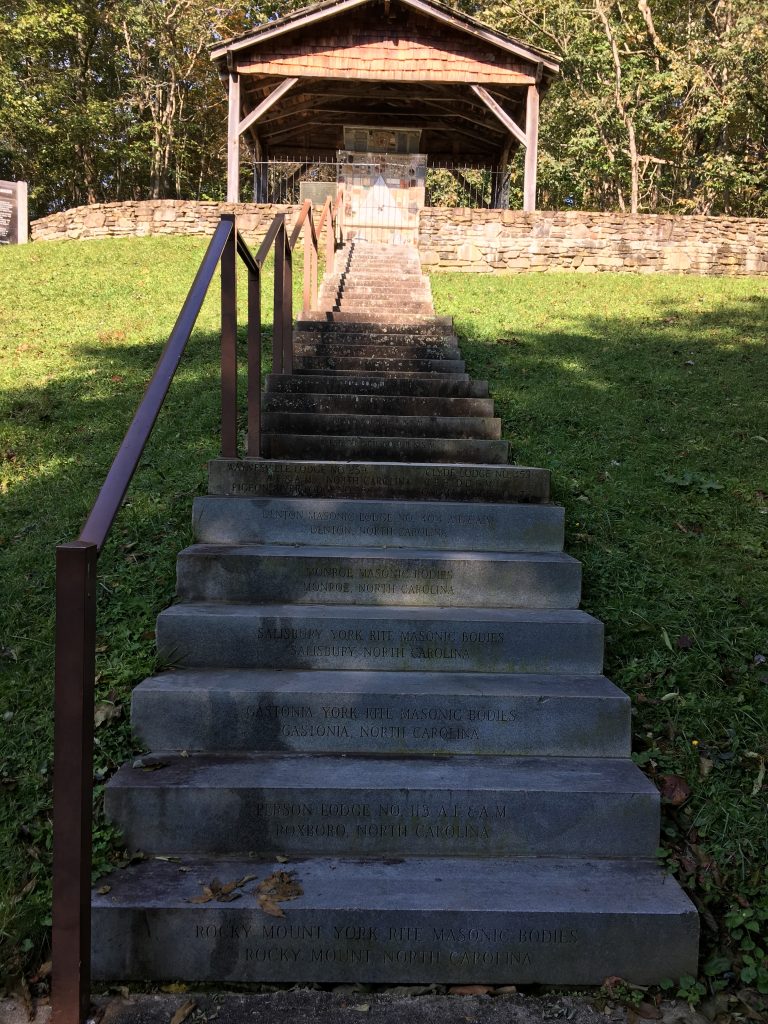
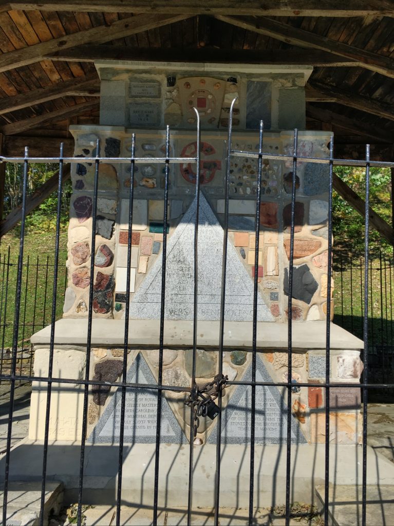
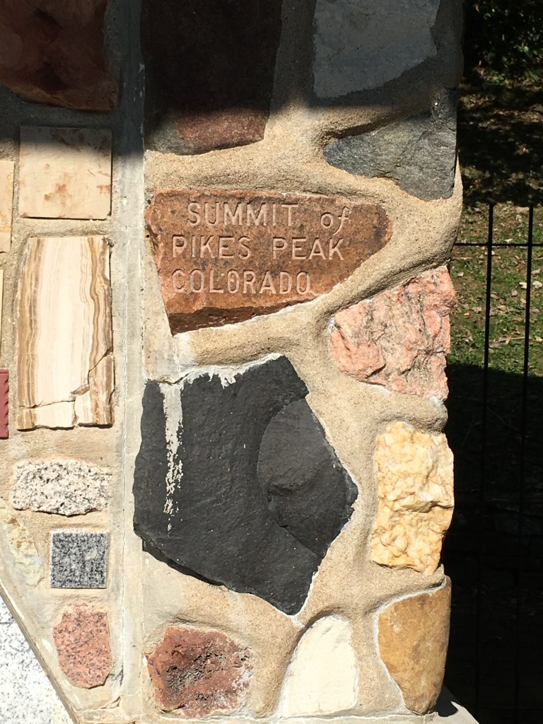
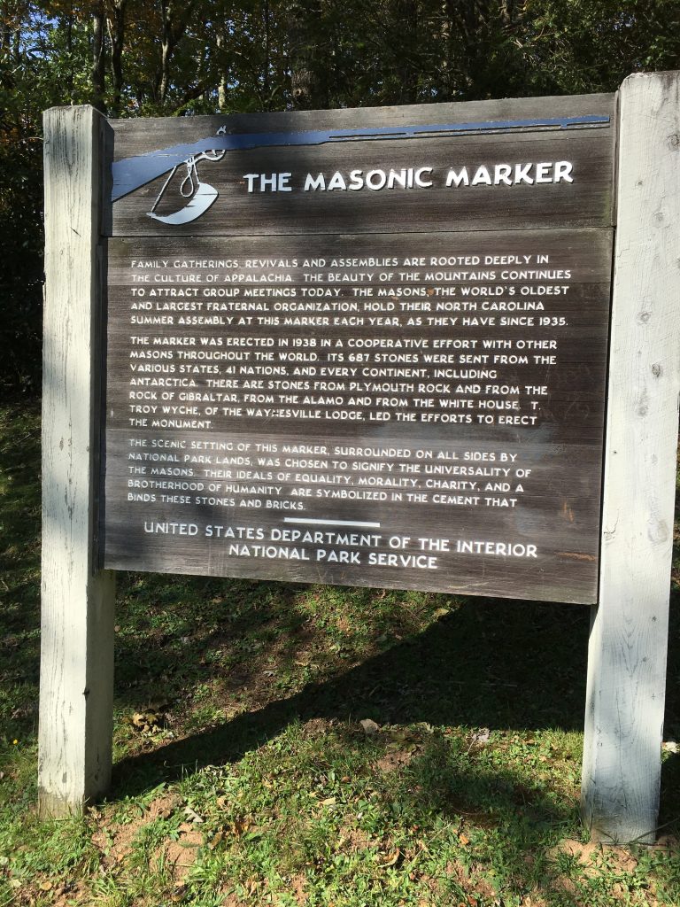
It turned out to be a spectacular walk. About halfway, the road leaves the GSMNP and enters BRP land. Right where that happens, there’s a very interesting Masonic Marker, built in 1938 with stones from around the world. This is also where the NC Masons hold their annual assembly.
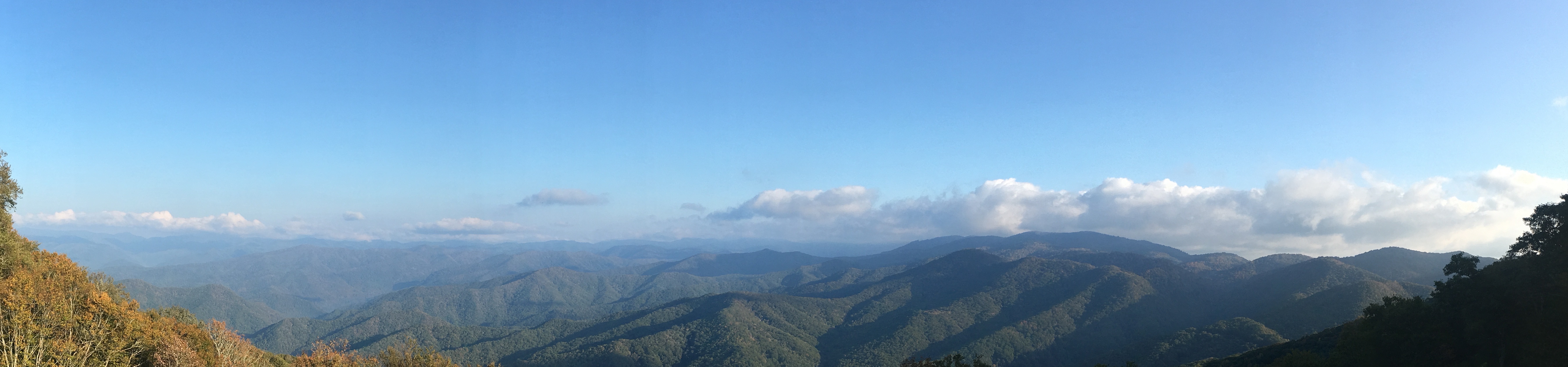
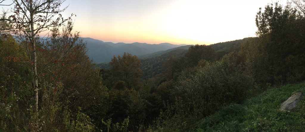
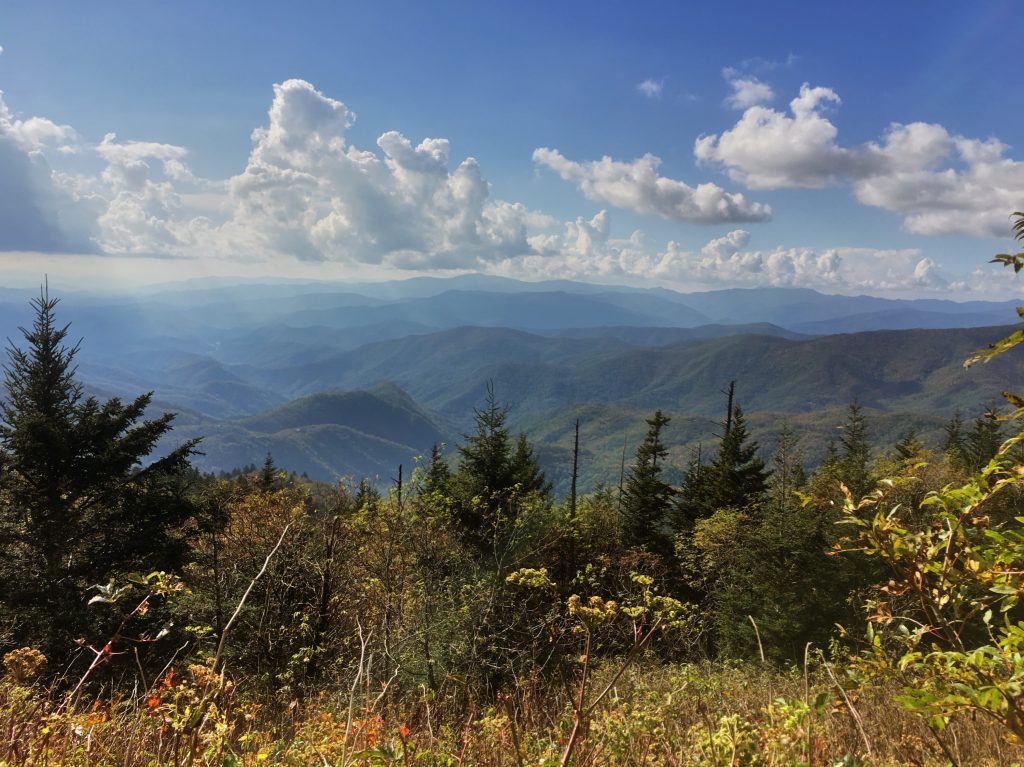
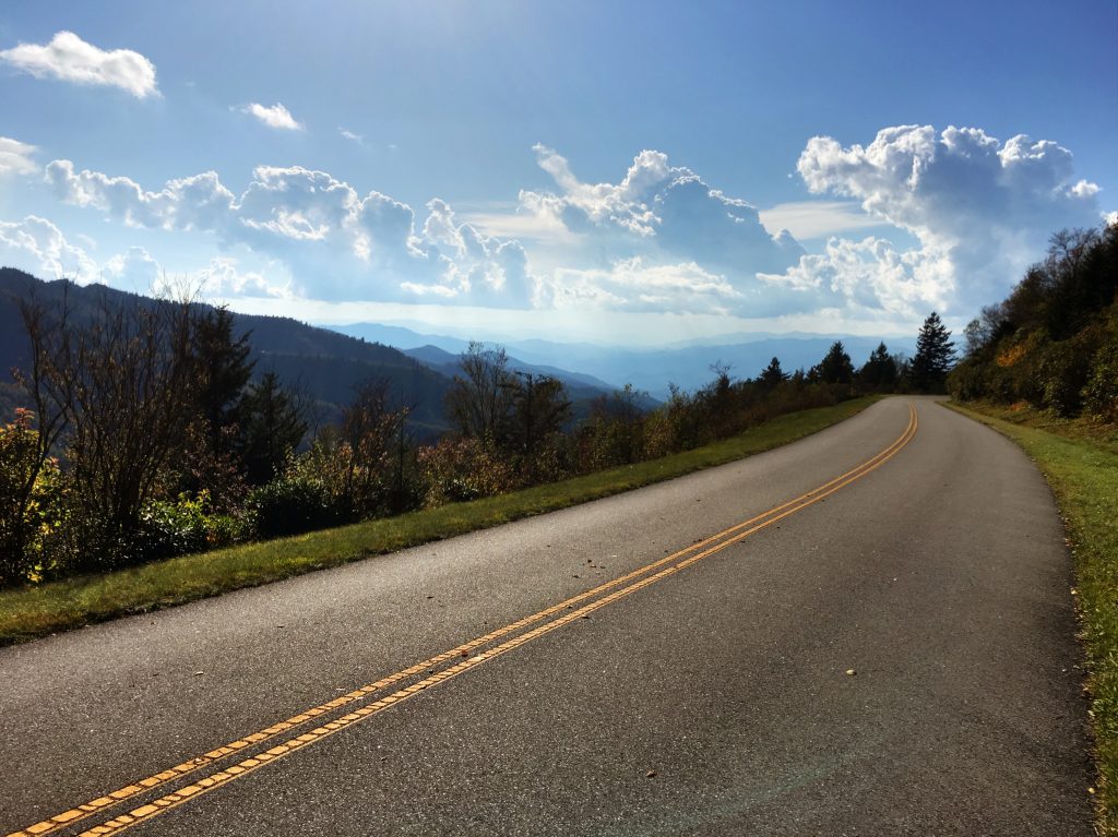
The views from this road were fantastic all along the way, including some outstanding overlooks.
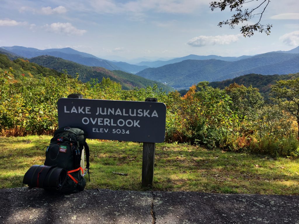
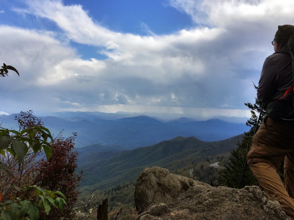
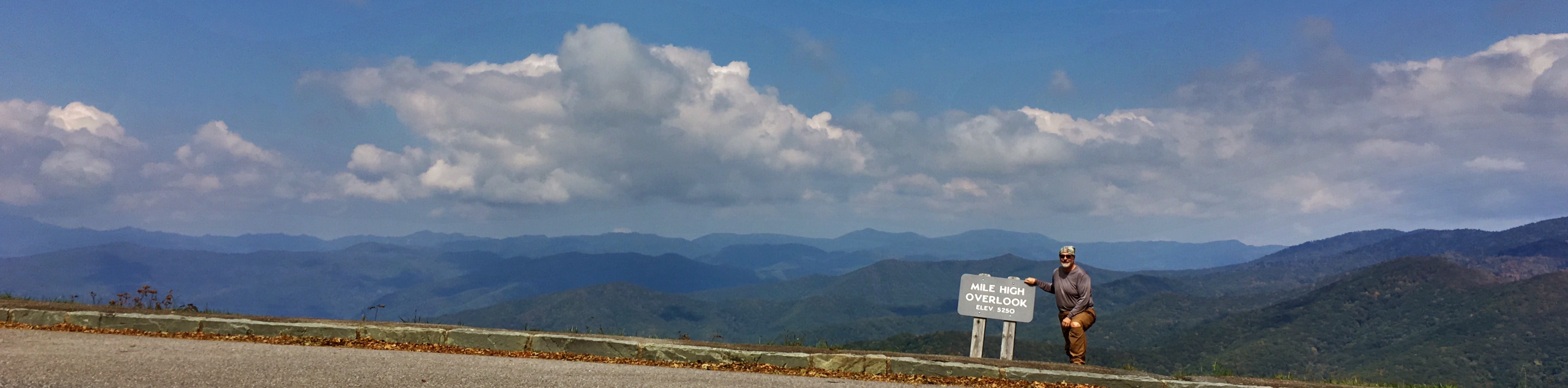
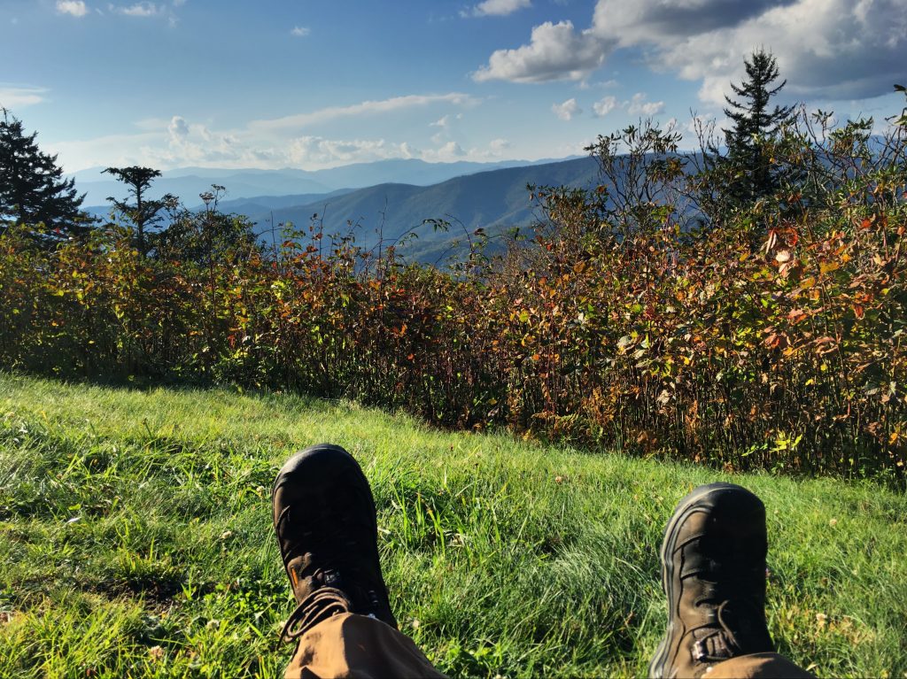
The last overlook before my campground was Mile High Overlook. This has a jaw-dropping view of the Smokies. As I looked at it, I realized I could see my entire Smokies journey from this one vantage point, about 60 miles laid out before me, from left to right. It blew me away, to be able to stand here and see what I had just done, in this way.
While hanging out at the Mile High Overlook, I heard an unearthly sound off in the distance, sort of in the direction of the road curving up ahead. I’ve never heard anything like it before… almost a Lord of the Rings Ringwraith kind of sound. “That might be an elk” I thought. I heard the sound once every 2-3 minutes, for about 15 minutes. Then, a pickup truck pulled up to the overlook from that direction. A couple got out and said “bull elk will be here in a couple of minutes… he’s walking up the road.”
And, sure enough, along he came, like he owned the joint.
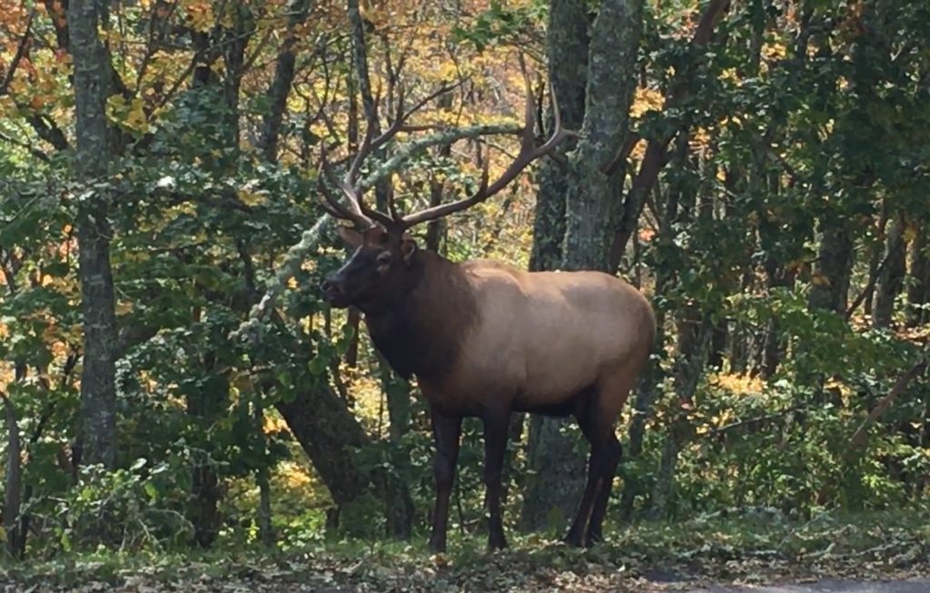
Turns out there are two elk herds in the Smokies, reintroduced over the past 15 years or so. One herd is near the Occonoluftee Visitors Center on 441 near Cherokee; you can see them there many evenings. The other herd hangs out around Heintooga Ridge Road and Cataloochee. This is THE bull for that herd. I think he’s my spirit animal.
After the elk moved along, I put on my pack and went the last mile to the Mile High Campground. It’s a private campground on Cherokee land, right around the corner on the same ridge as the Mile High Overlook…. and it has similar spectacular views from many of the campsites. I had a site reserved (Roberta had made that reservation the previous day), but they had quite a few vacancies, and the manager let me roam the sites and pick what I liked best. I found a site with perfect trees for the hammock, and a good view.
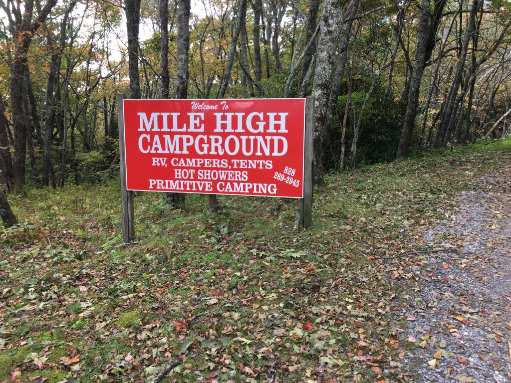
Mile High Campground has no electricity, but does have running water and hot showers. The first shower in 5 days was bliss. I also washed out my insanely nasty hiking pants, and put on clean undies. I felt downright civilized.
I had a nice camping neighbor wth a cute dog, who let me use his big jump starter / battery pack to charge my iPhone. That was GREAT, since I had depleted my 10,000mAh battery pack and the iPhone was at about 25%, with a whole day left to hike and photograph.
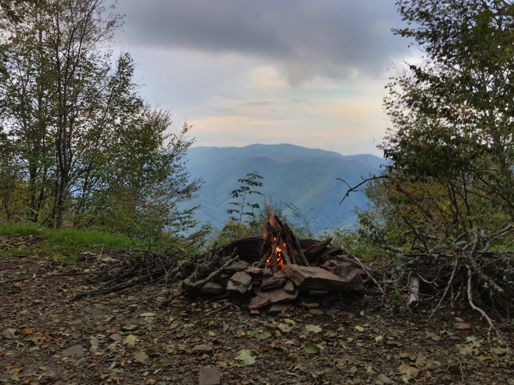
It was mid-afternoon, so I had plenty of time to setup camp, make a late hot lunch, and chill and read for a while. Also made a short-lived fire, just because.
 Had some dinner, and turned in at dark. Slept like the dead.
Day 6
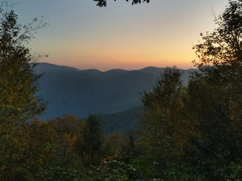
The big day! Really excited to have my goal in my sights. I got up at dawn, made breakfast, and broke camp. After admiring the stunning dawn views from Mile High Campground.
About 8 miles today, and about 1500ft of climbing to Waterrock Knob. About a mile on gravel roads again, then turned onto the MST single track. Lots of White Dots now!
Also some more trees down to get around. A couple that were a bit of a challenge. After about 4 miles, emerged on US 19 at Soco Gap. Crossed 19, and took a short trail up to the BRP. Crossed the BRP at the MST trailhead, and took a little break for a snack. A squirrel scored a bullseye on my scalp with a very beefy acorn. Then, time to start the final climb.
On Friday, when I was headed out of Smokemont, I met a lady who had just tried to climb this MST trail the day before, and she had abandoned because so many trees were down. Shortly after starting up the trial, I met two members of the Carolina Mountain Club trail maintenance crew coming back down. They said their crew had been working on the trail since Monday and should have it completely clear any time now. I met the rest of the crew on the way down half an hour later… they were done! Perfect timing… it’s like they had rolled out the red (or green) carpet for my final climb!
Good thing… because some of the trees they had cleared were quite something.
This was a pretty serious climb, about 1500ft over 4 miles. It was lovely, but some sections were ridiculously steep. And included Mordor stairs.
About 3/4 of the way up, at the top of a section of stairs, there was a switchback, with a nice little bench for a rest break, and a spectacular view.
I had been thinking early this day, about the PERFECT weather I had this week. Not a drop of rain. I was glad I left my “heavy” rain gear in the car, and only brought my 1oz emergency poncho.
Well, right about then, I heard thunder. And a few hundred yards from the end of the MST trail, where it meets the path up Waterrock Knob from the parking area, it began to rain. HARD. A thunderstorm popped up right over the mountain, and it was pretty exciting.
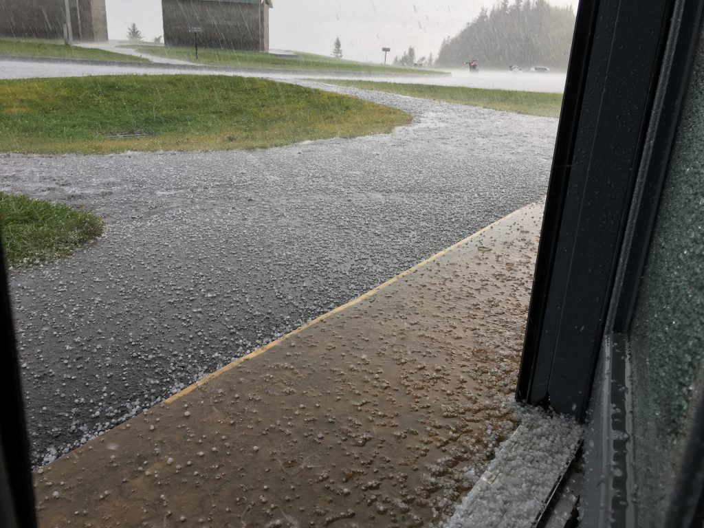
I finished the trail and emerged onto the paved Waterrock Knob path, and celebrated; Segment 1A was done! Then, before I could figure out how to dry off my phone and take a photo… it started to hail. I decided I’d go down the hill to the Visitors Center and wait out the storm… and the hail got harder on the way down. Sadly, I couldn’t get any video of me hiking in the hailstorm, because an iPhone touchscreen doesn’t really work in a hailstorm. The pea-sized hail wasn’t too big a deal. But when it got to peanut-size, and then started approaching marble-size… that stung A LOT. So I’m running down the uber-steep paved path with a full backpack and a cheap plastic poncho on… through a raging hailstorm, and finally make it to the Visitors Center where someone opens the door for me and I run inside. Several motorcyclists were huddled inside, along with the two men working there.
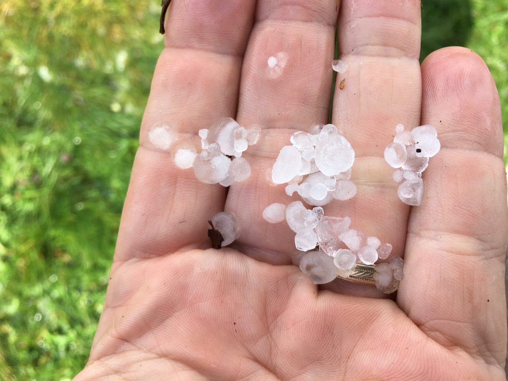
I took off my pack and my poncho, took some pictures and video through the windows, and bought a cup of coffee and a pack of peanut M&Ms. And waited. I also bought a new $2 poncho so I could throw away the one I destroyed, as I was taking it off.
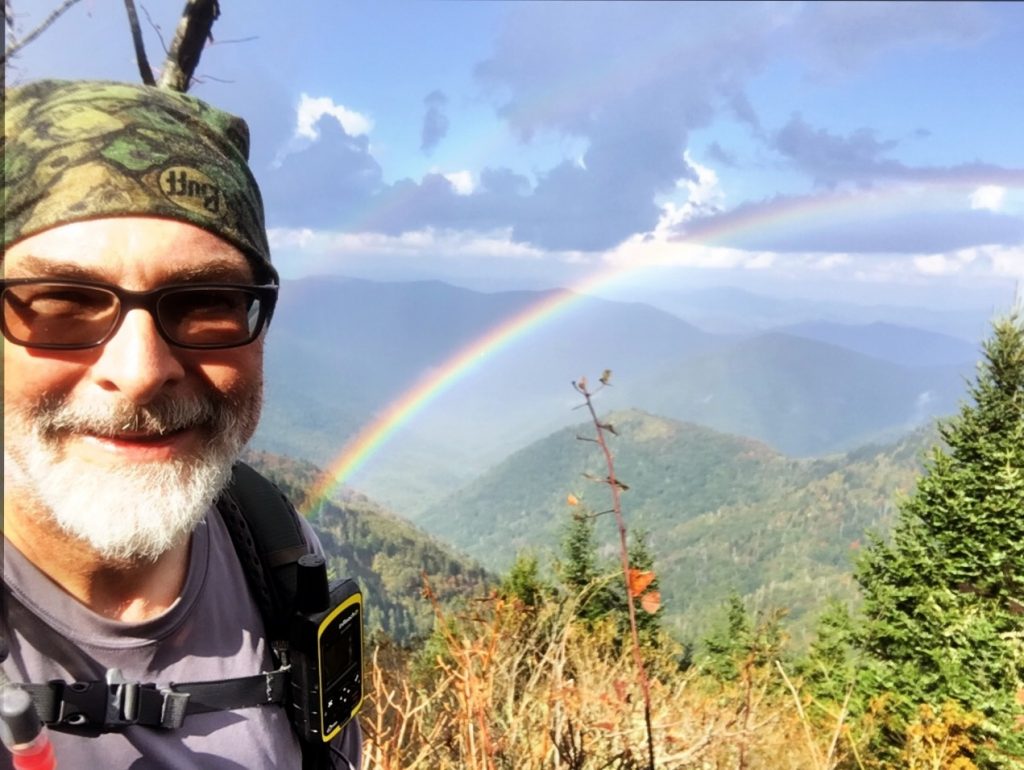
After about half an hour, things cleared out, and I decided to hike back to the top of Waterrock Knob for pictures. About 3/4 of the way up, I glanced over my shoulder and saw a double rainbow, and shouted with glee…
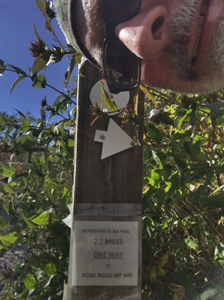
Then continued to the top. Another storm was threatening, so I took some pictures, reflected on my accomplishment for a few minutes, and hurried back down the hill. Stopped for a few more pictures… including at the MST trailheads. The trail to Fork Ridge is where I’ll start the next segment.

I had brought a posterboard sign that said “Cherokee Please!”; this had been in my pack all week. I pulled it out and started attempting to hitchhike. I walked out to the BRP and starting walking toward Cherokee. Traffic was VERY light. It was late Wednesday afternoon… and there had been a hailstorm not long before. I saw a few cars, but no takers. Still, the views made the walk worthwhile…
After about a mile, I reached an overlook, and decided it wasn’t going to happen. I messaged Roberta and asked her to call a cab from Cherokee. She did. I found a nice spot to wait.
After about half an hour, my cab appeared, and took me back to Smokemont, where I found my car just as I had left it. I loaded up and headed for Taco Bell. Because that’s what I eat, after I hike.
One MST segment down… 17 to go.