My rowdy extended family of 9 (Me, Roberta, Jack, Viv, Viv’s boyfriend Dakota, Roberta’s sister Mary, Mary’s husband Mike, and their kids Matt and Katie) took an epic 10 day vacation to Colorado, Wyoming and Utah in July.

While there, we spent a few days at Yellowstone, staying in Gardiner, MT. My personal primary objective while there was to get in some hiking. And drink some beer. On July 14, while the rest of the group were going about various things, I took a break from driving around and drove one of our cars through Mammoth, to Bunsen Peak.
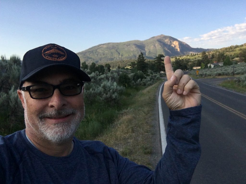
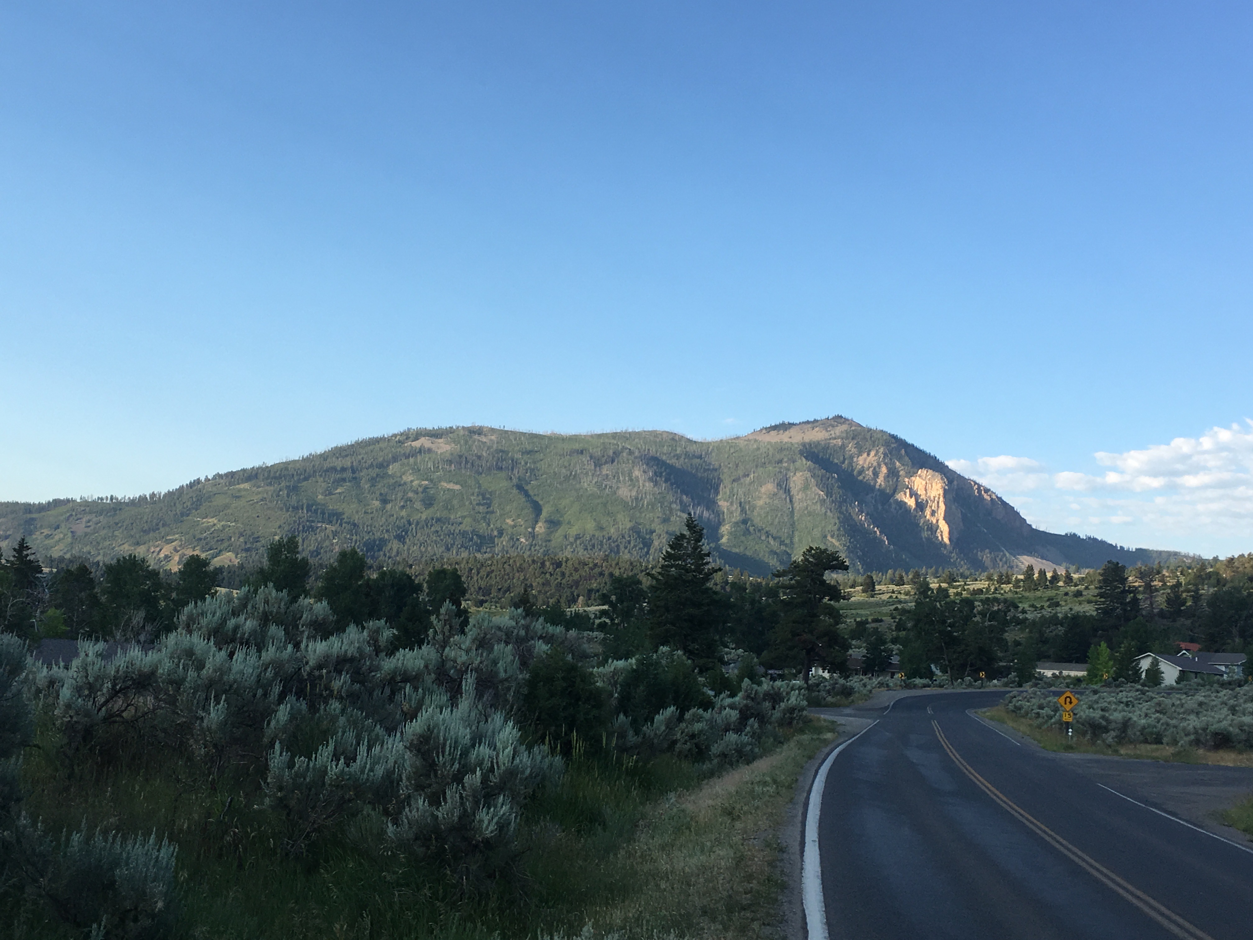
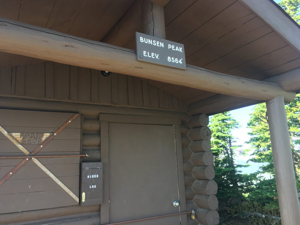
Bunsen Peak (yes, named for the Bunsen Burner Guy), is an 8,527′ mountain just south of Mammoth, WY. It’s quite dramatic, when viewed from the north, due to it’s pronounced rise above the valley below, and Cathedral Rock, the jagged, bare northwestern face. The parking area and trailhead are on the southwest side, and are at a significantly higher elevation than Mammoth; it doesn’t look quite as daunting from here; only about a 1300 ft climb, over 2.1 miles.
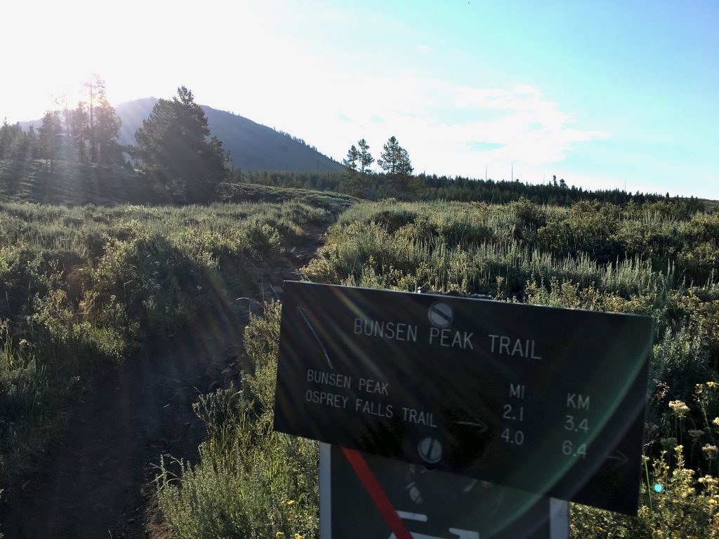
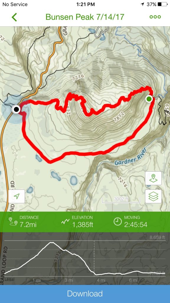
My plan was to go “up and over” and descend down the east side, then loop back on the service road that rings base on the south side of the mountain. About 7 miles total.
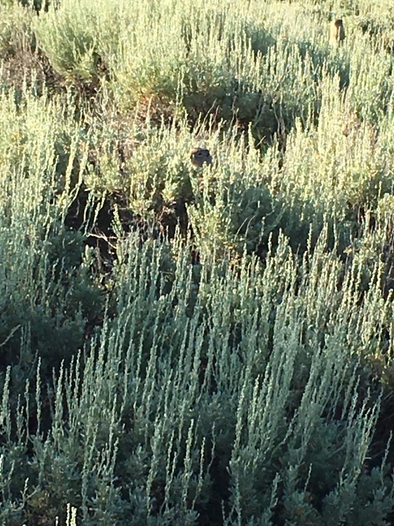
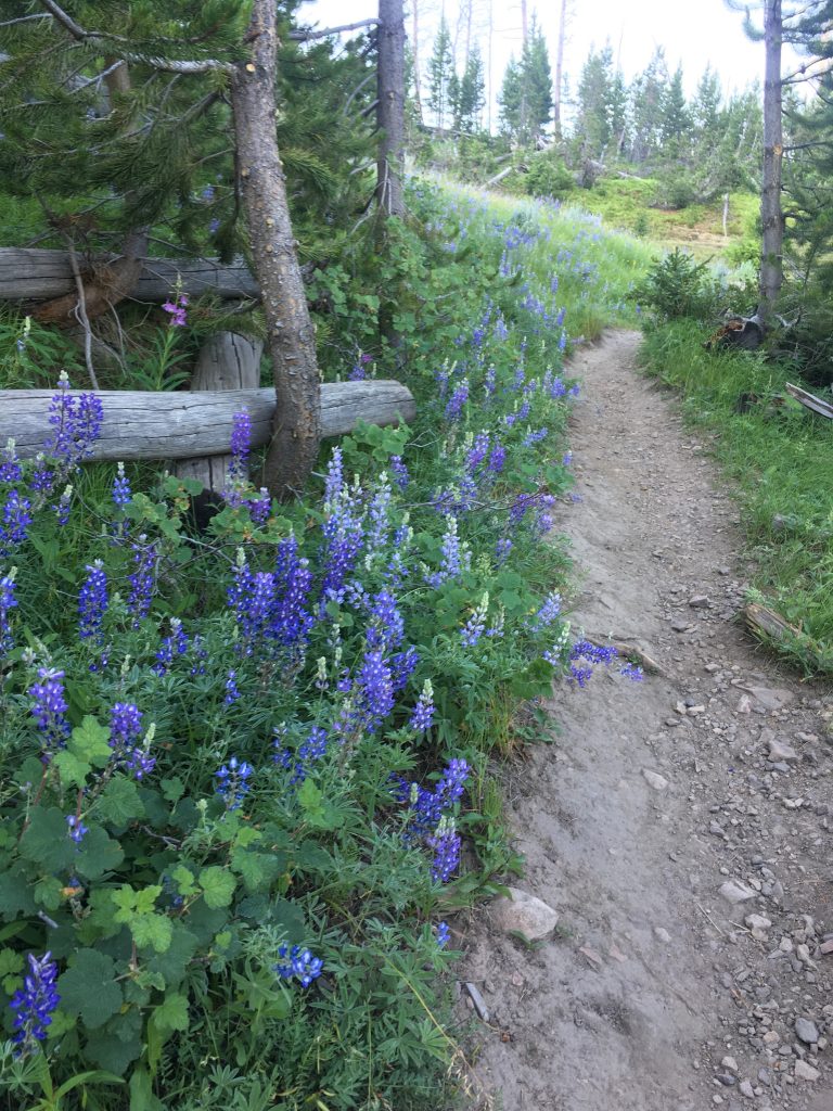
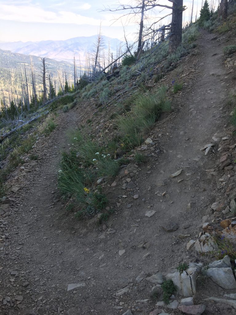
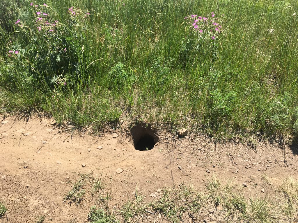
Initially you climb along a well-worn dirt single track trail, through scrub brush and ground squirrel dens for the first quarter mile or so.
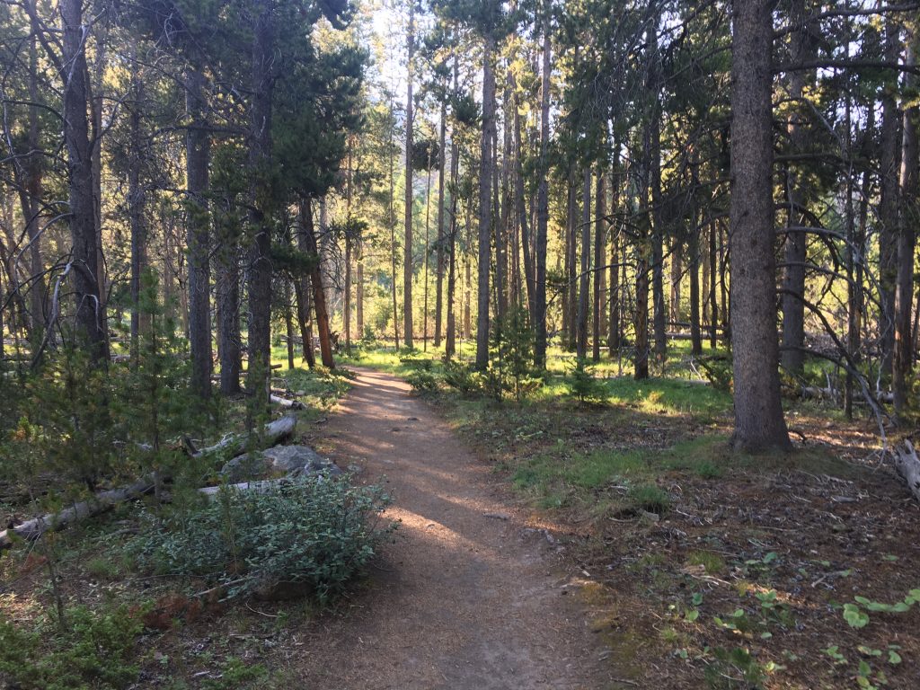
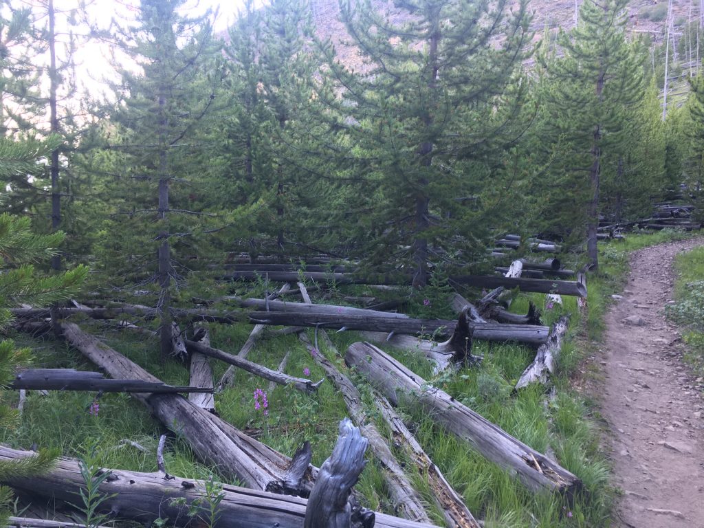
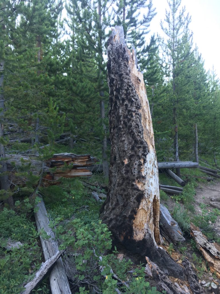
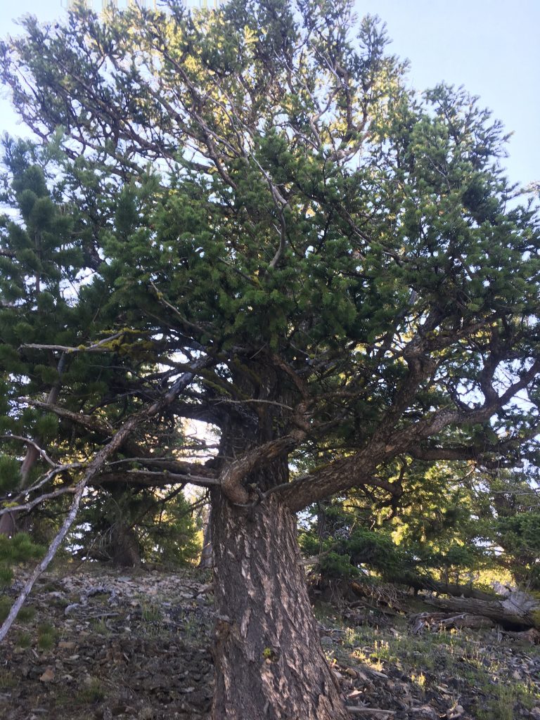
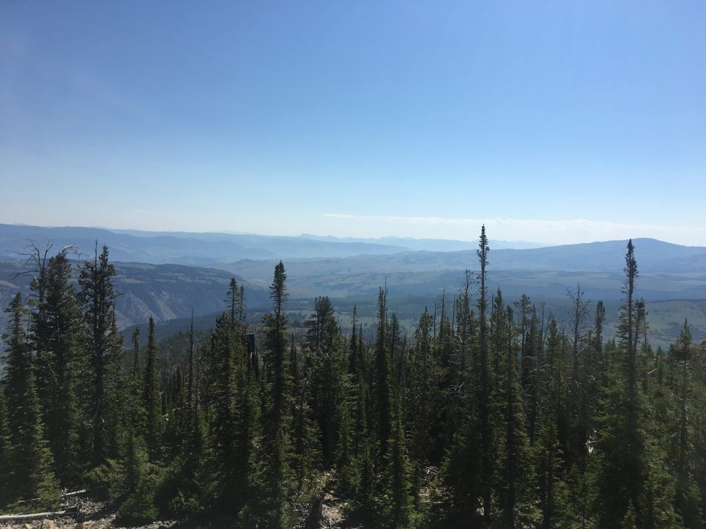
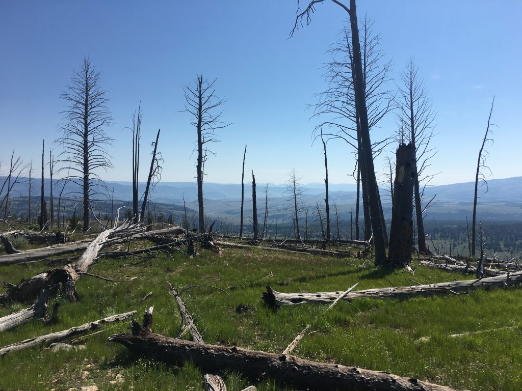
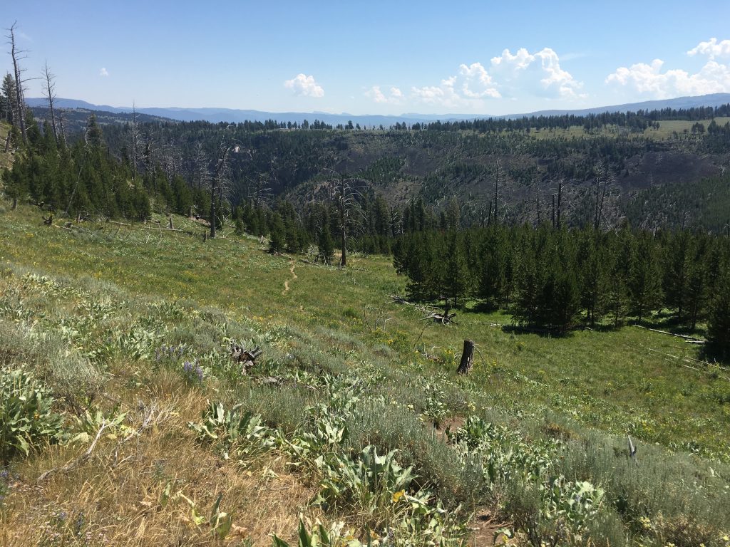
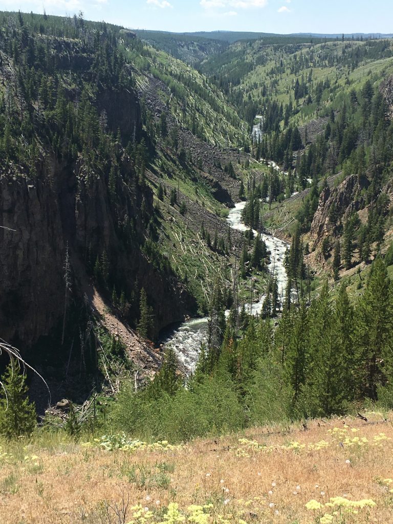
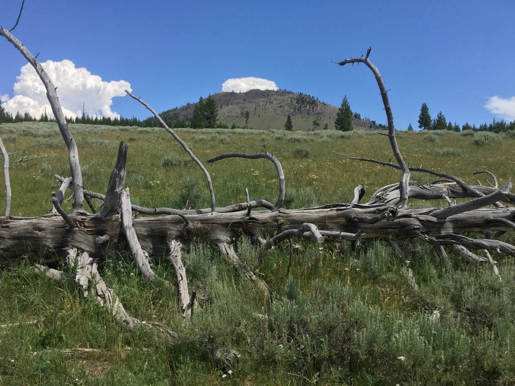
Then the trail enters the forest. This area burned during the 1988 Yellowstone fires, and the ongoing regeneration of the forest is apparent. Fallen trees continue to decay, new growth is everywhere.
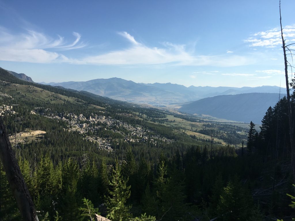
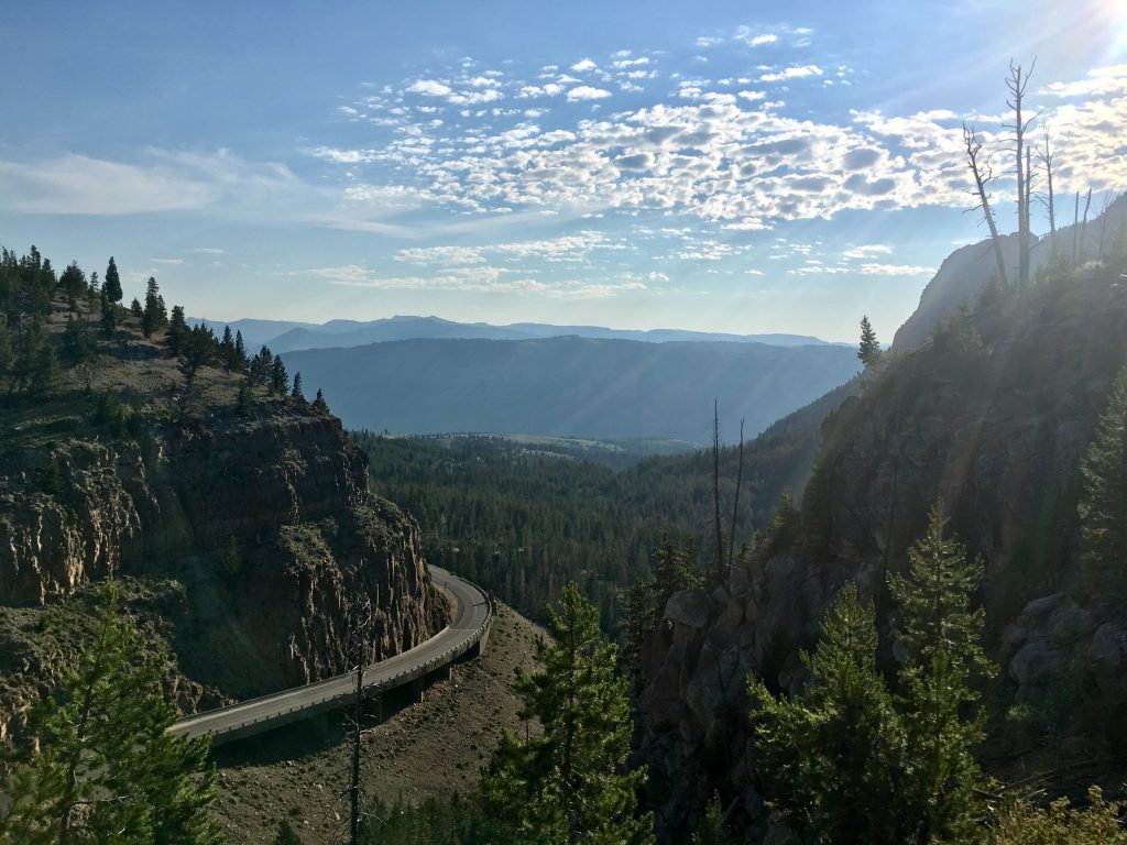
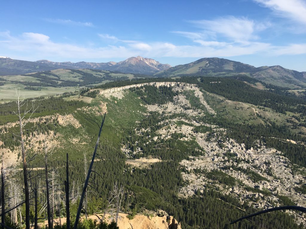
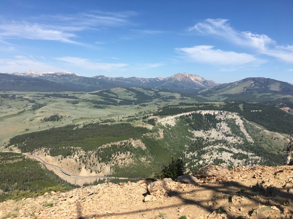
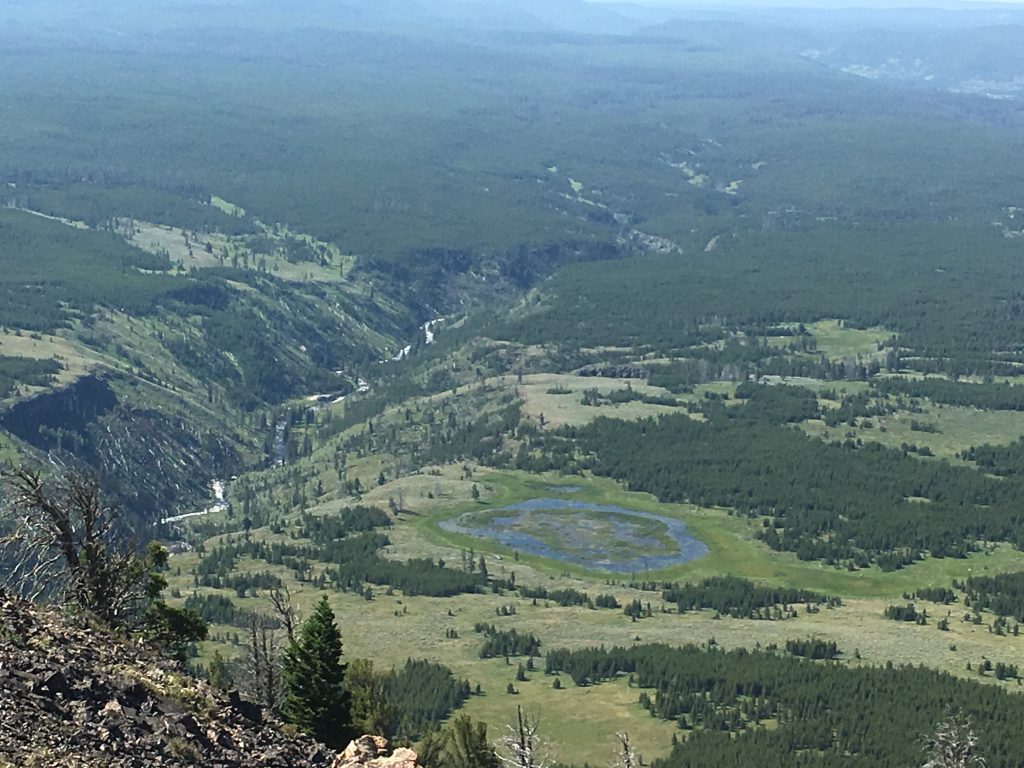
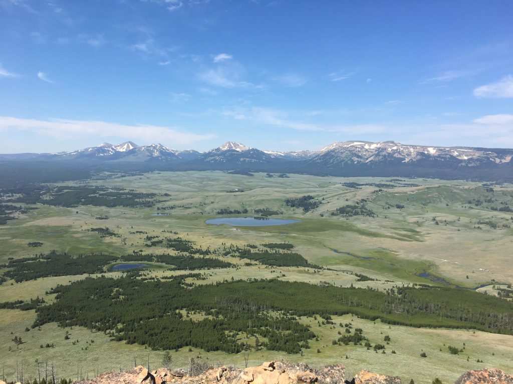
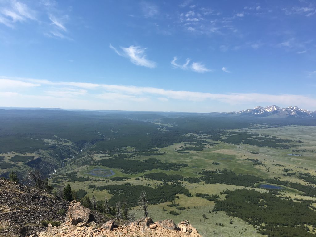
Every few minutes, you round a corner or crest a rise… and gasp at the view.
After about a mile, you reach the top of Cathedral Rock. It’s apparent many people have ventured waaaaaaay out onto the rocks here. Not me.
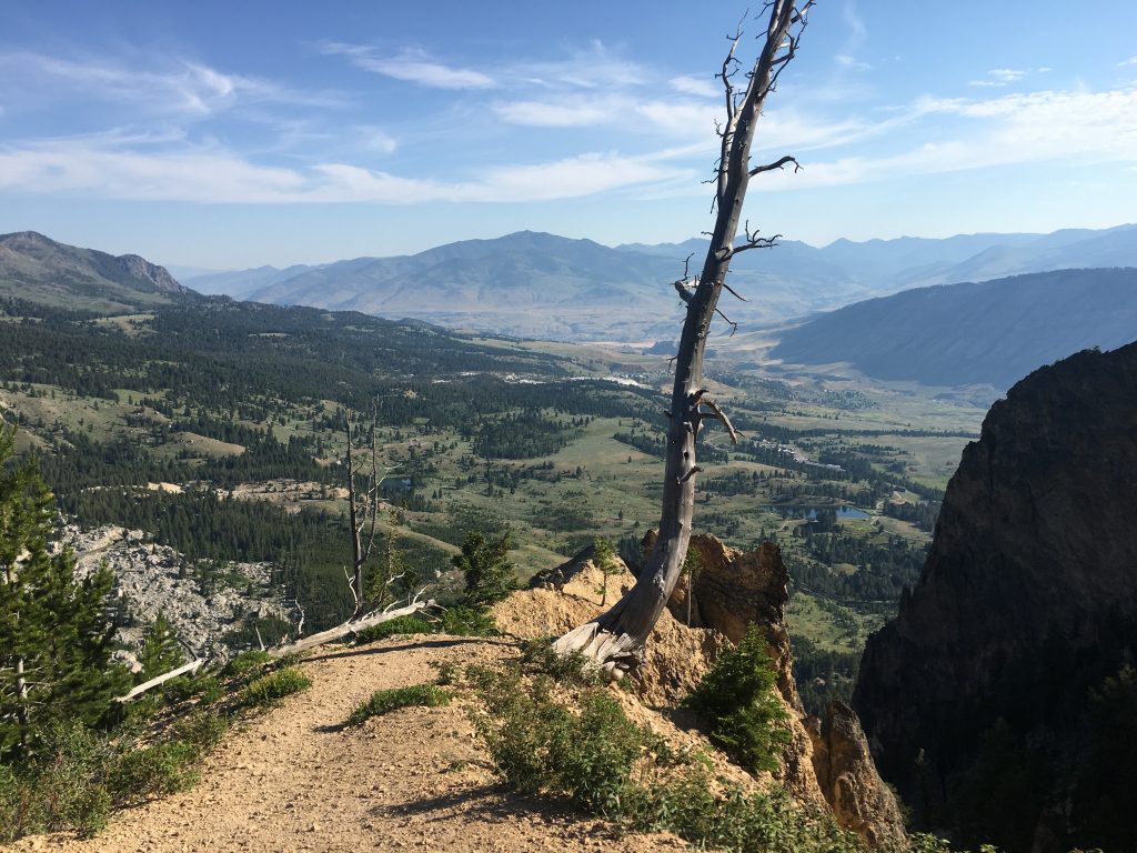
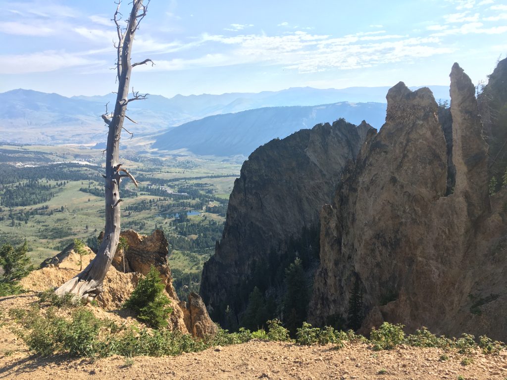
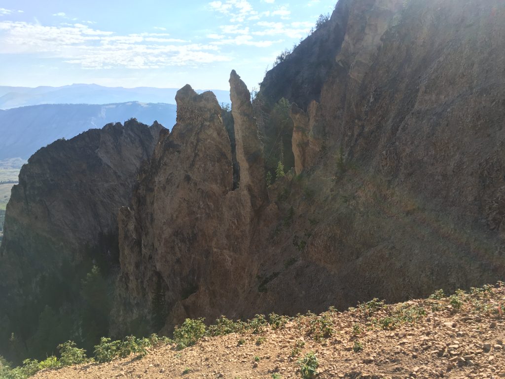
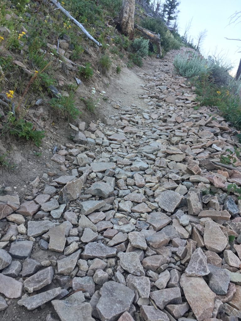
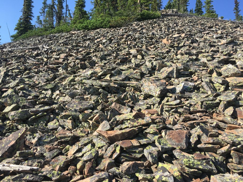
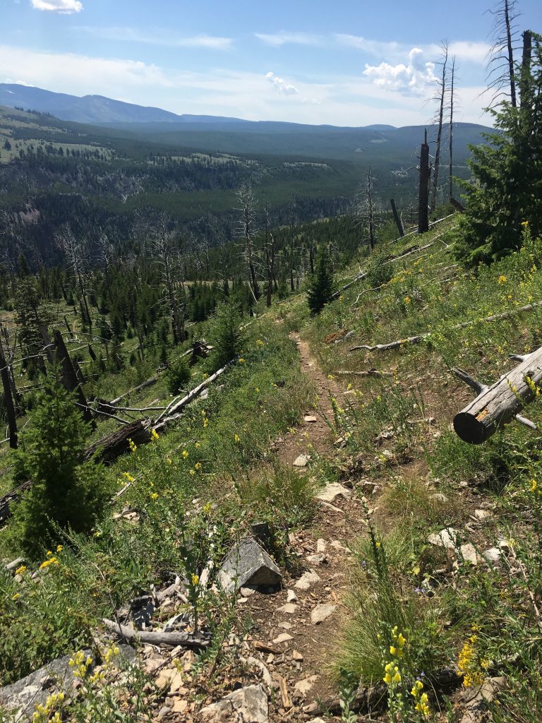
From here, the trail turns right, up the grade, and becomes considerably more rugged. It crosses several talus slopes with loose stones that make a lovely tinkling sound as you walk.
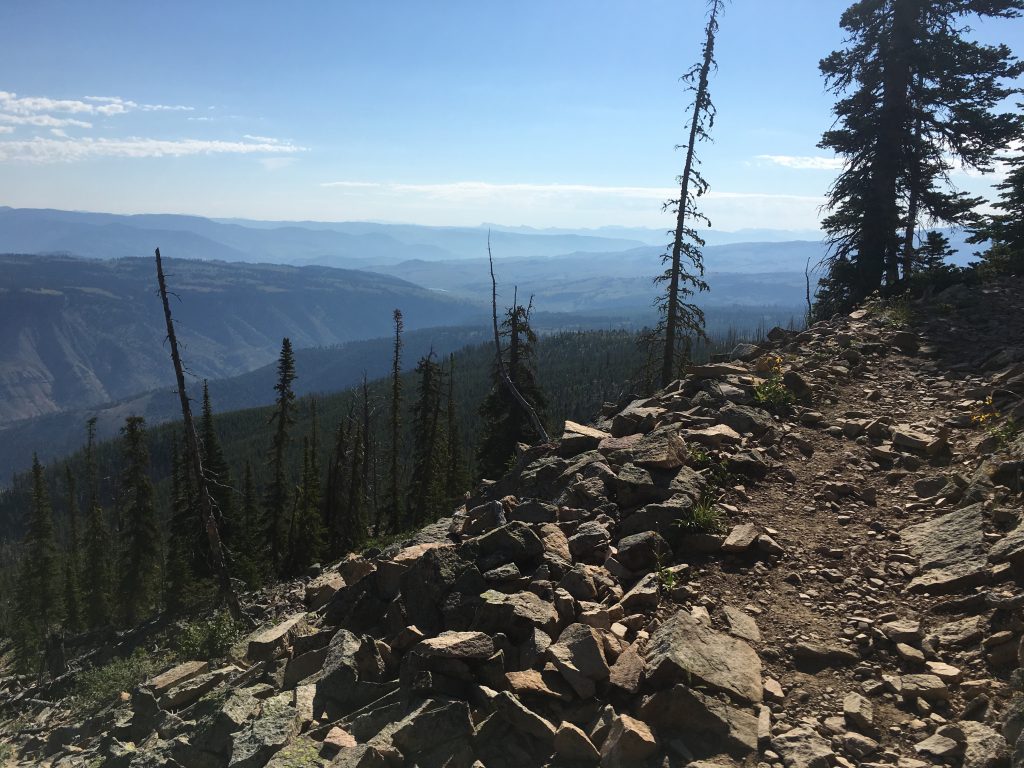
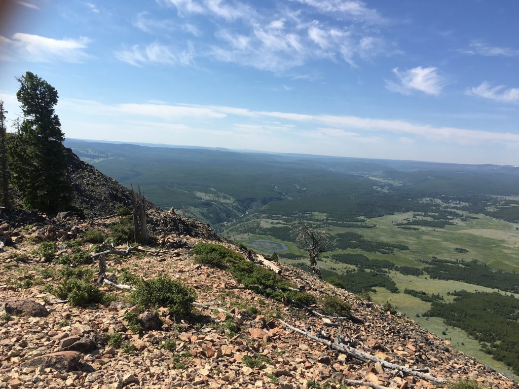
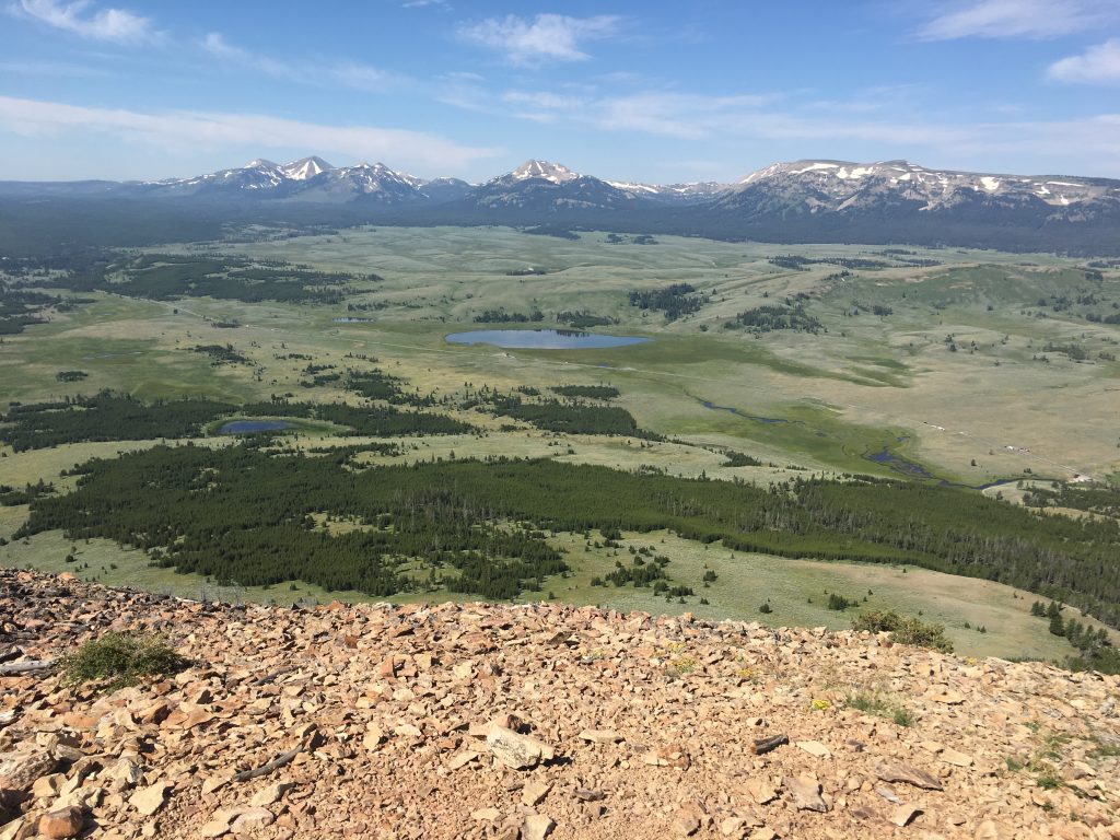
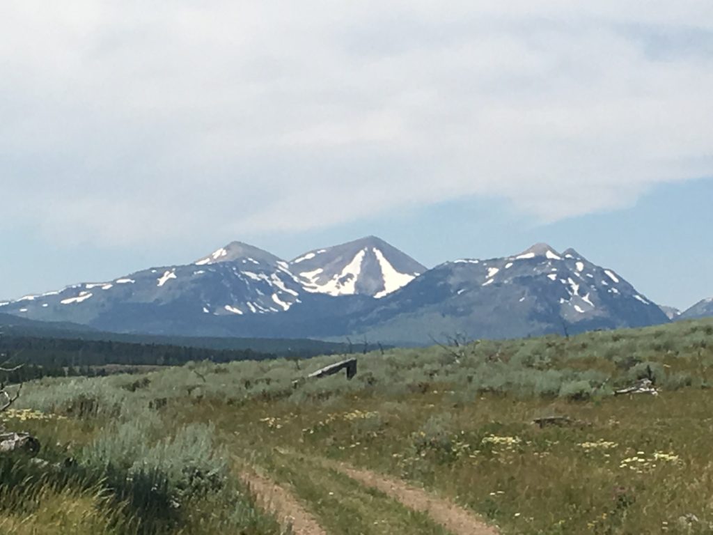
And there continue to be breathtaking views around every corner.
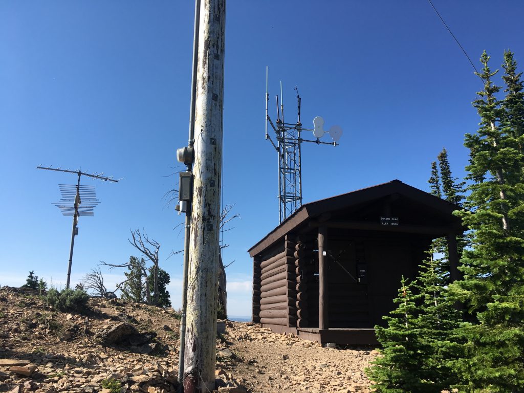
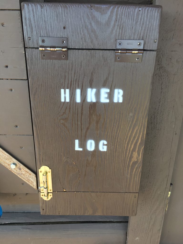
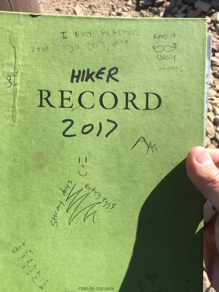
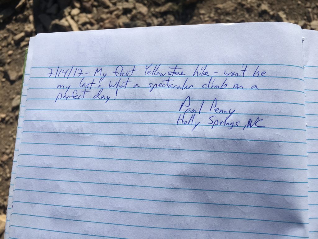
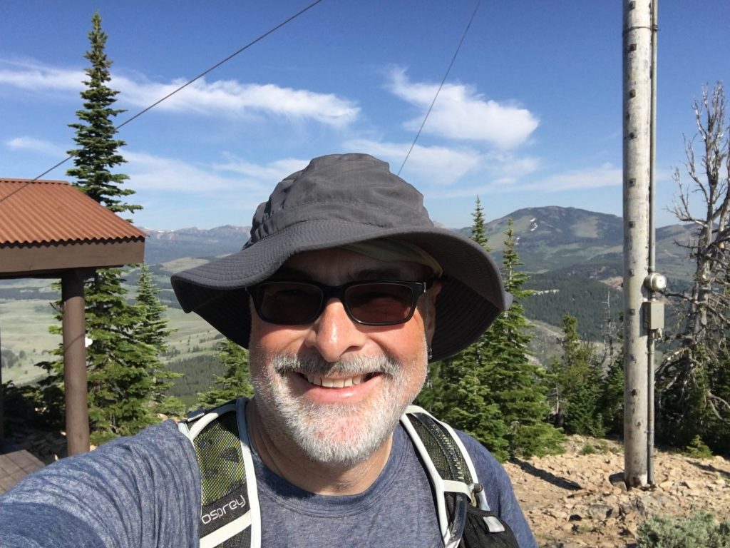
Eventually, you reach the summit. There’s a communications hut on top, with a hiker’s logbook. Be sure to sign the log.
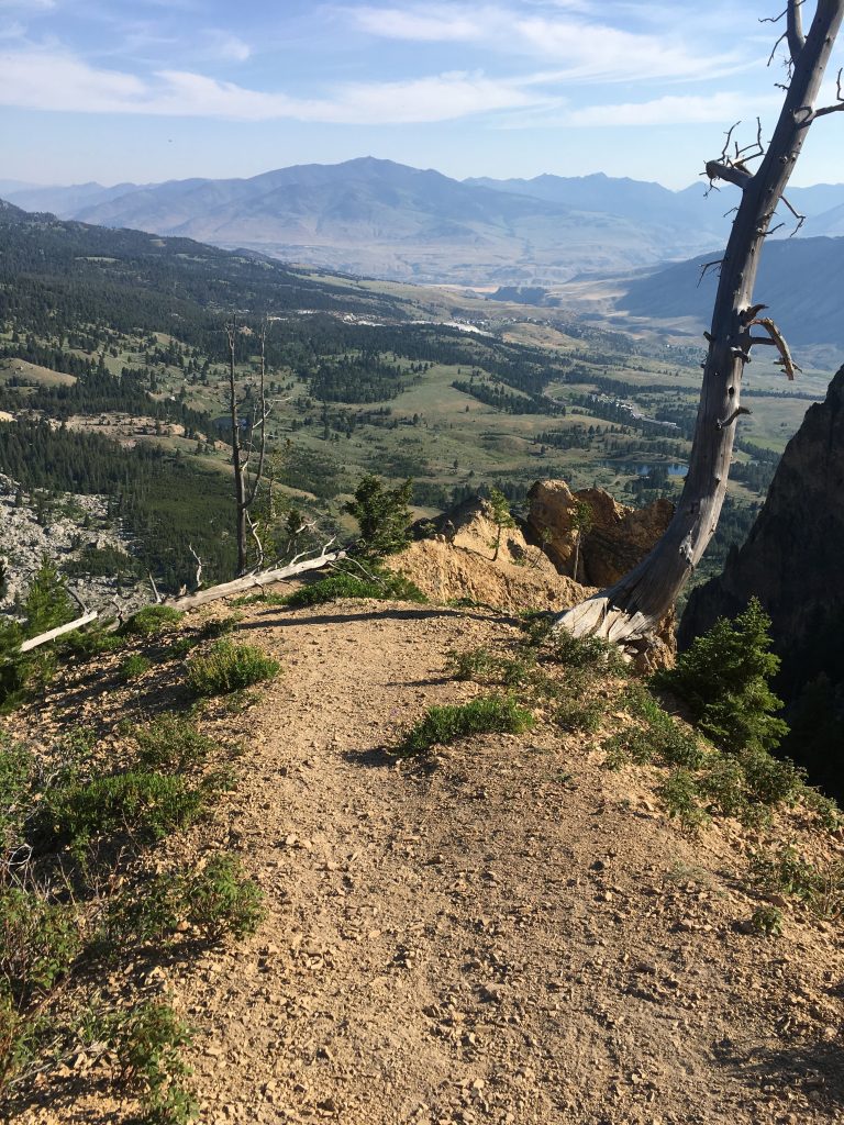
The view up here is quite astounding. No words.
Life goals: I want to be the guy who reads that electric meter for a living.
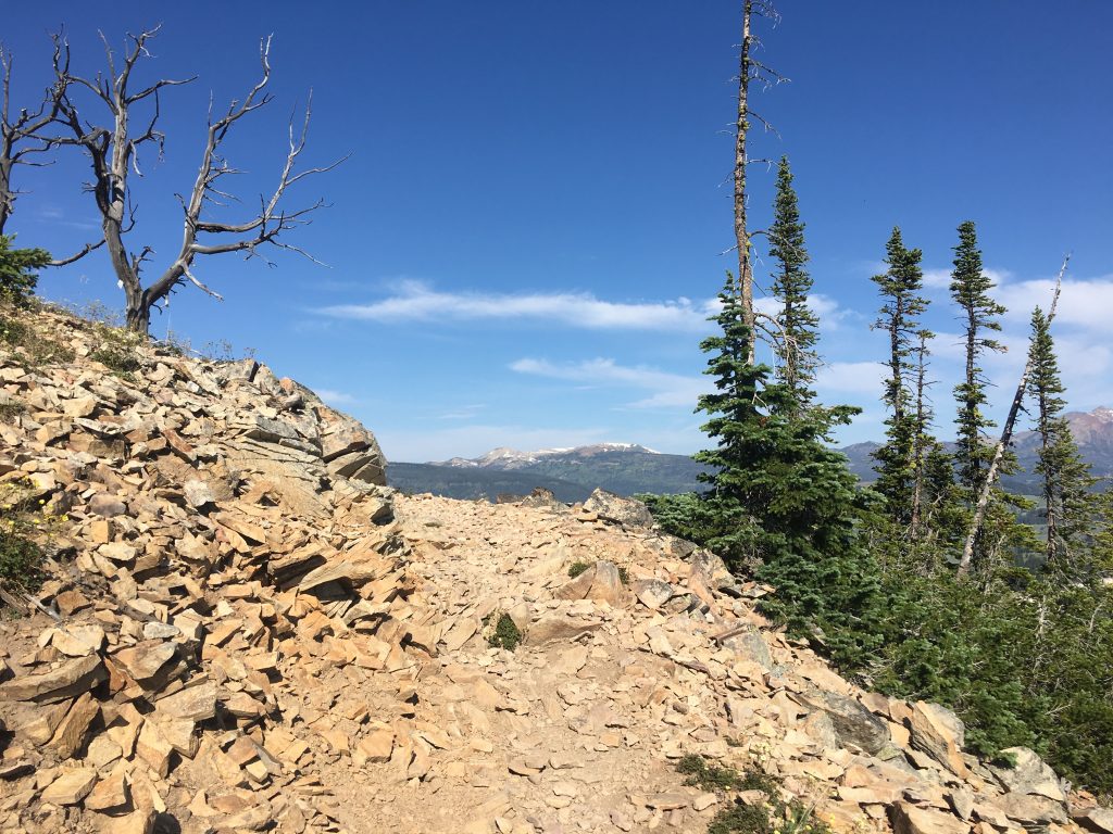
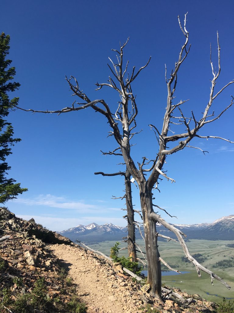
Then, I realized that this isn’t the only summit… there’a another up ahead, with a different view. The footings from a past tower or shack are still here.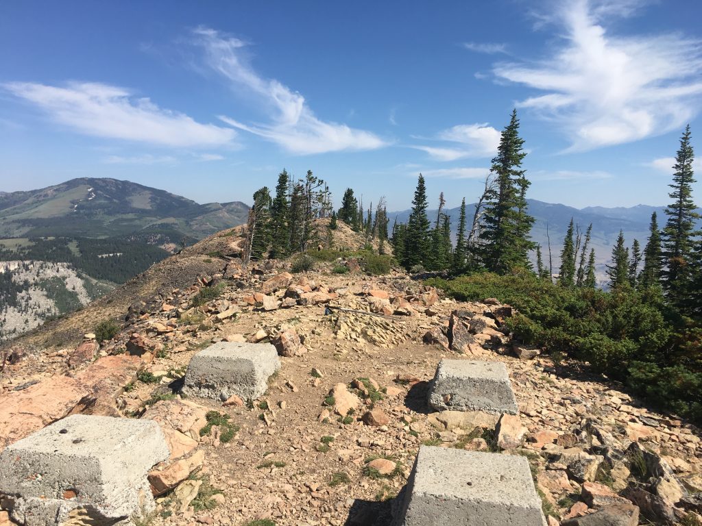
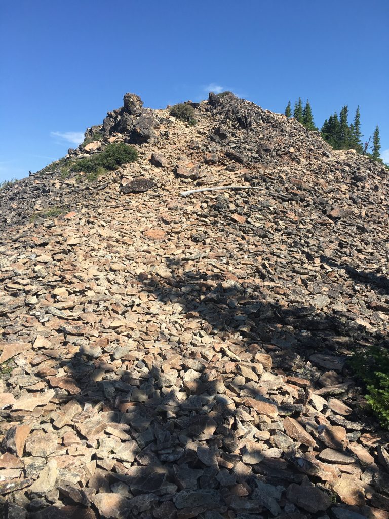
The trek down the back side of the second summit is a little hairy… loose talus slope. There is a “trail” of sorts… but it’s kinda dicey. I made it!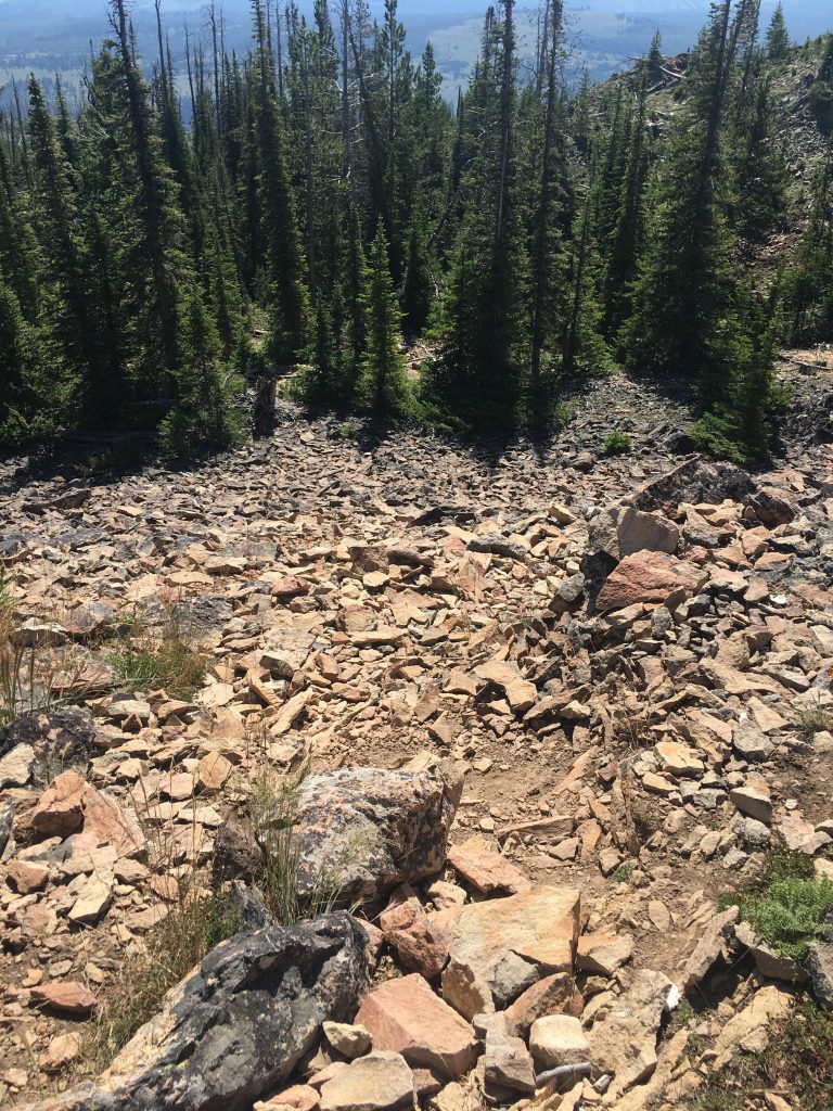
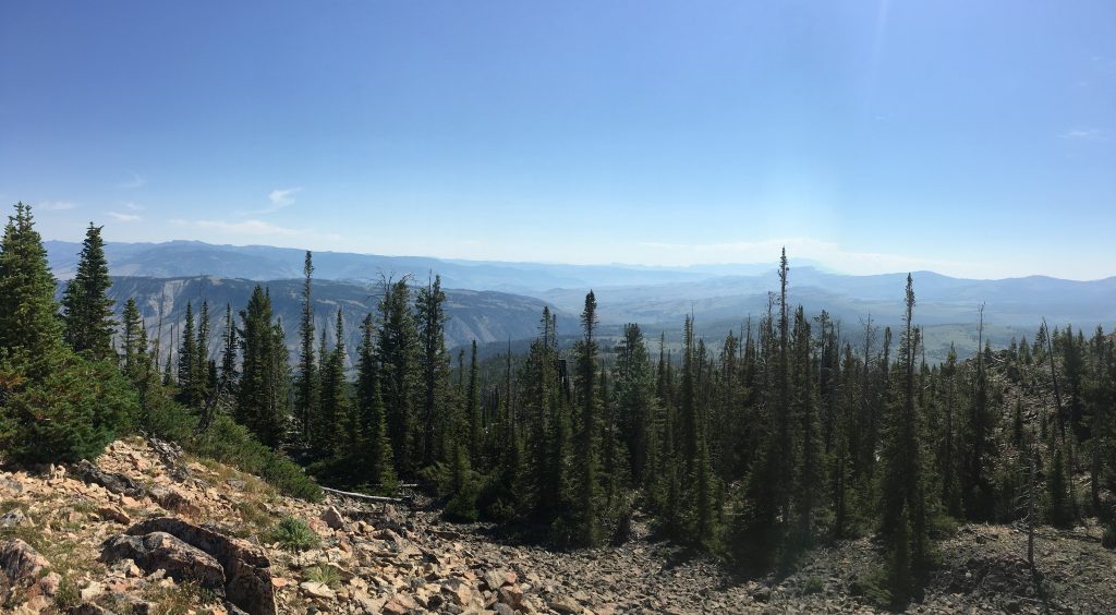
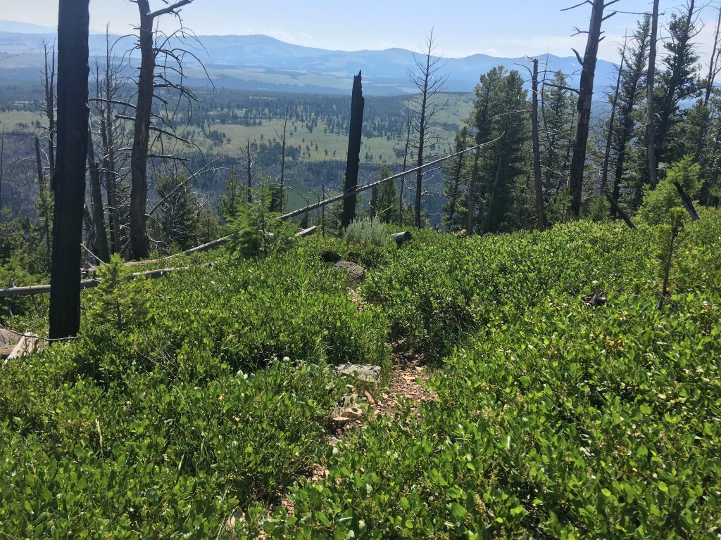
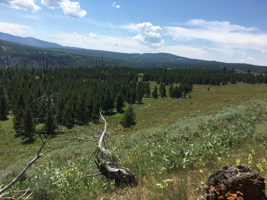
From here, the trail crosses the “backbone” of the mountain, to the east of the summits. More beautiful regenerating forest. And more stunning views. Always, the views.
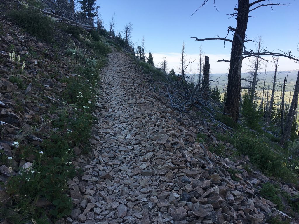
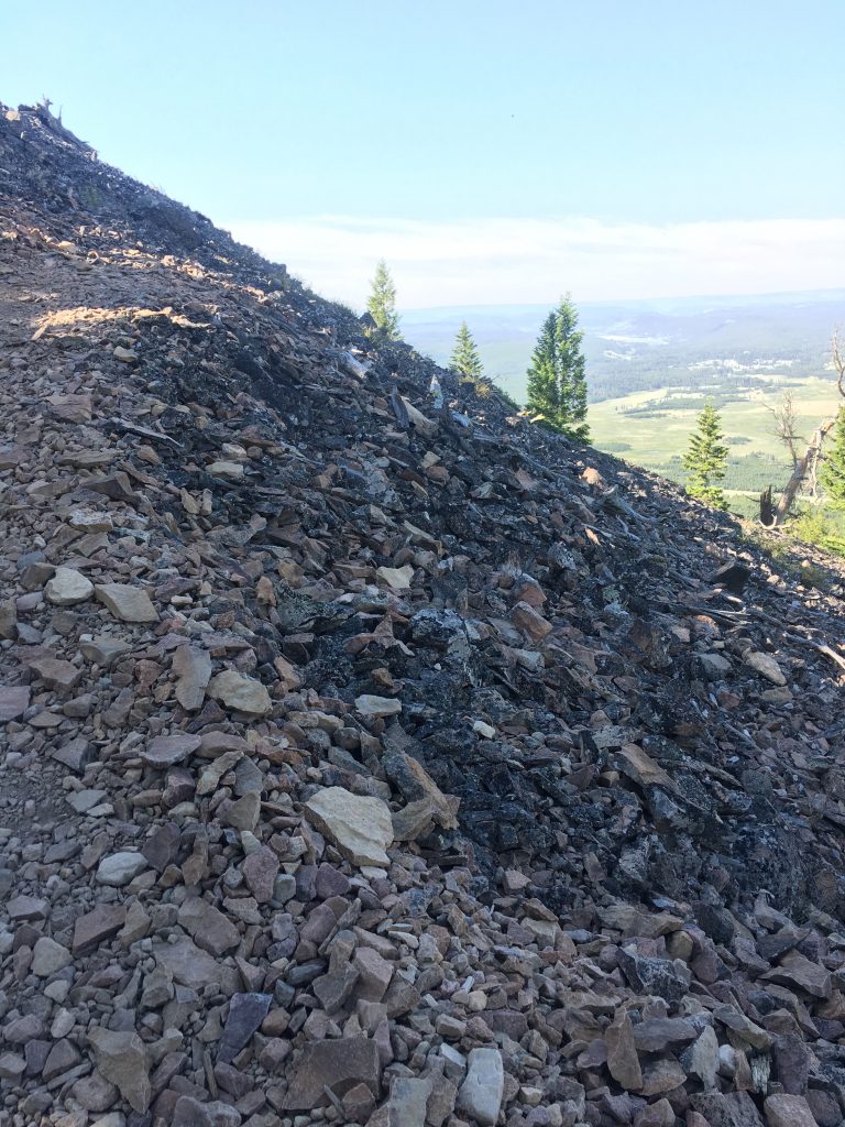
Eventually the trail heads down the steep east end of the mountain. Lots of switchbacks, and some areas so steep you almost need to scramble on all fours.
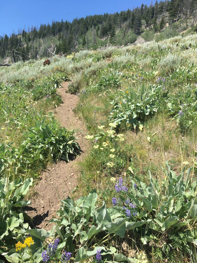
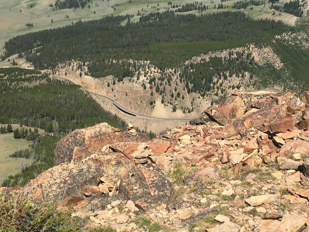
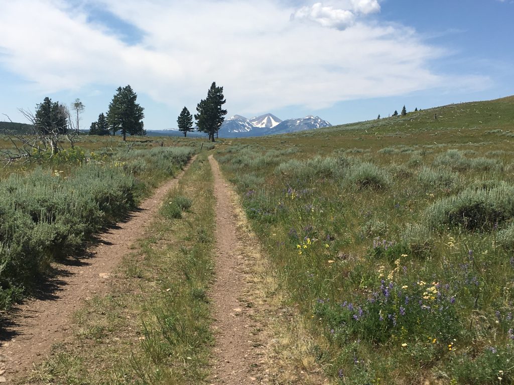
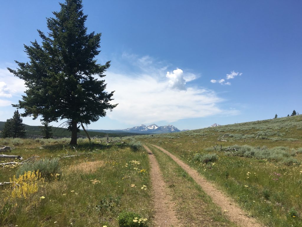
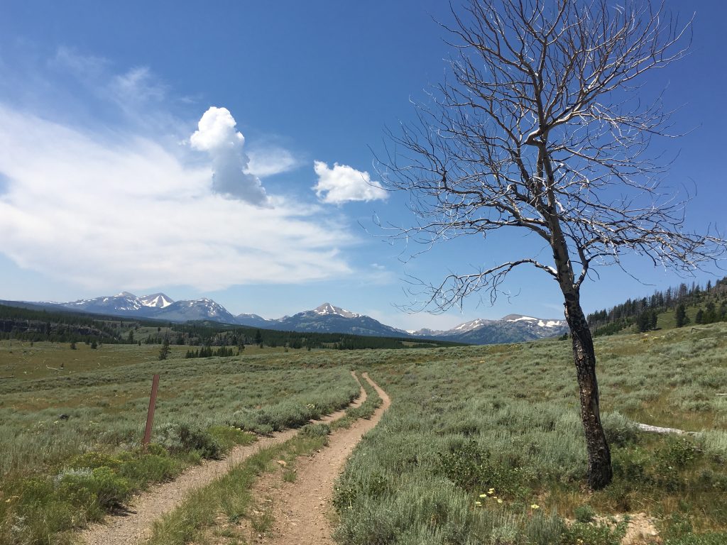
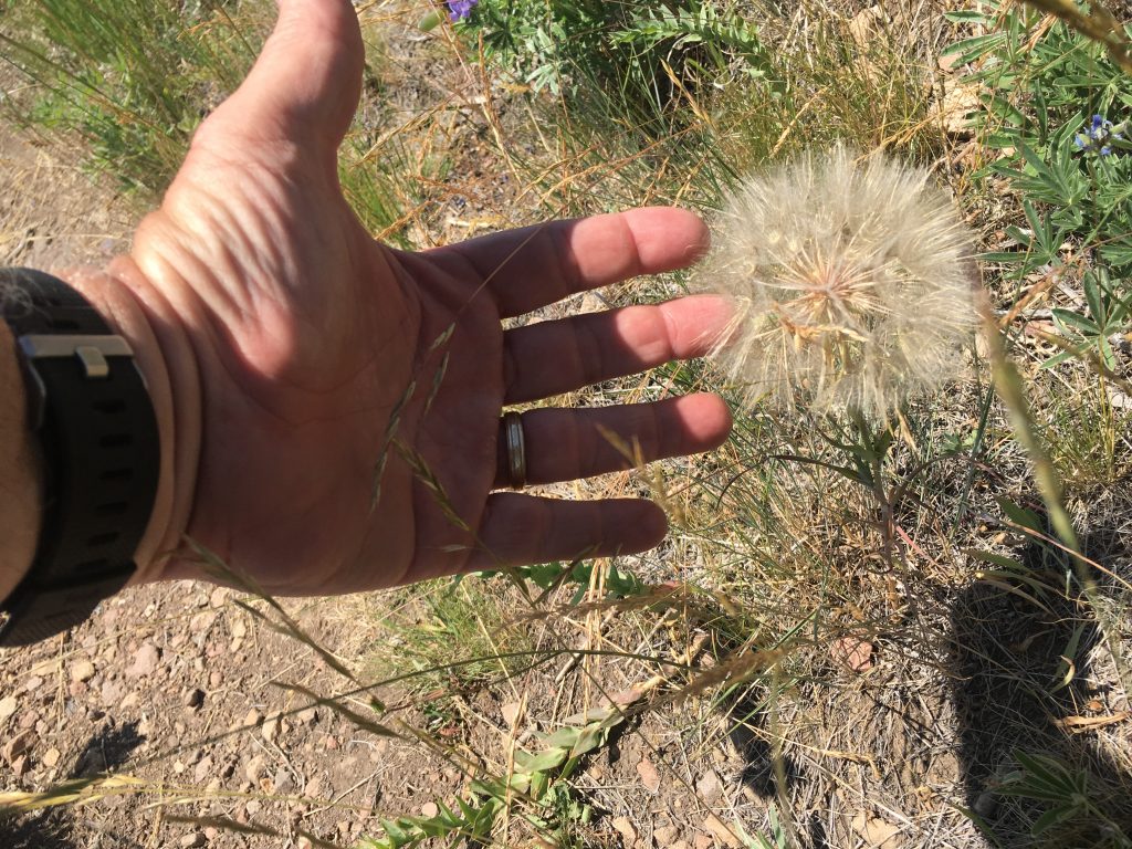
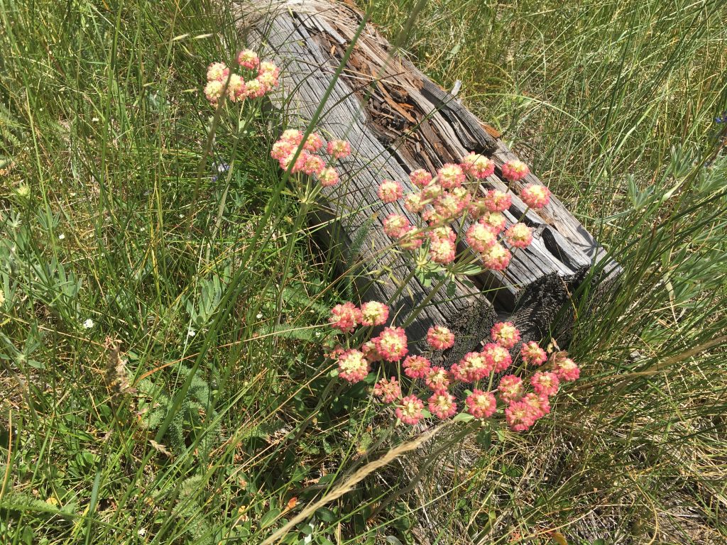
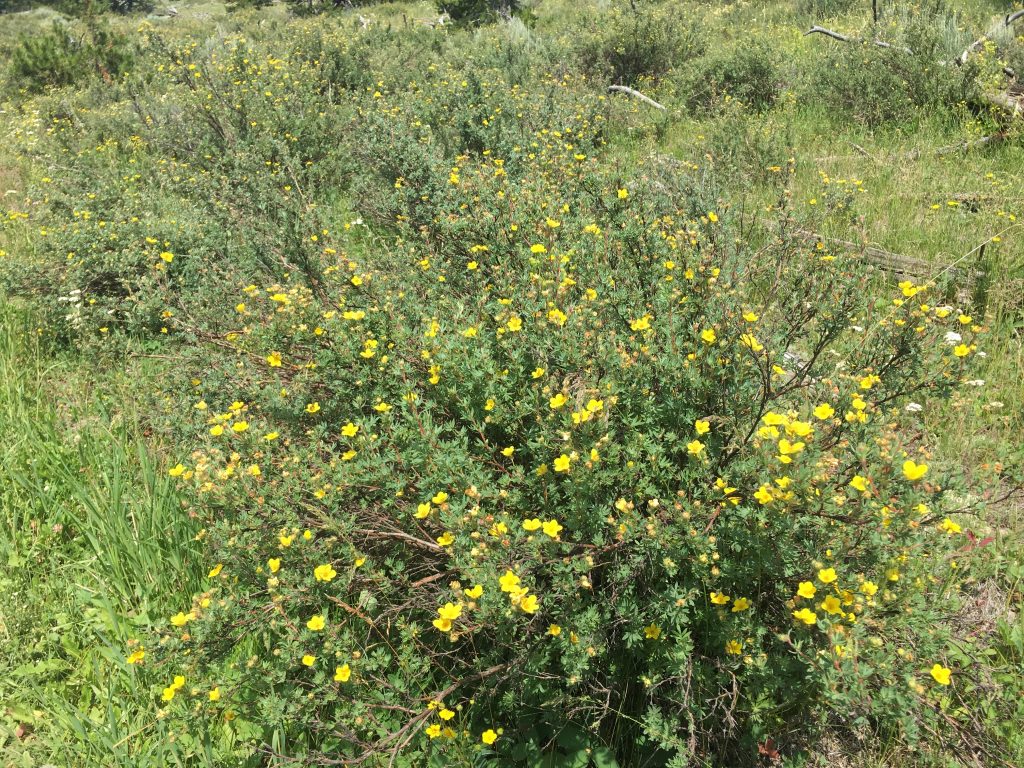
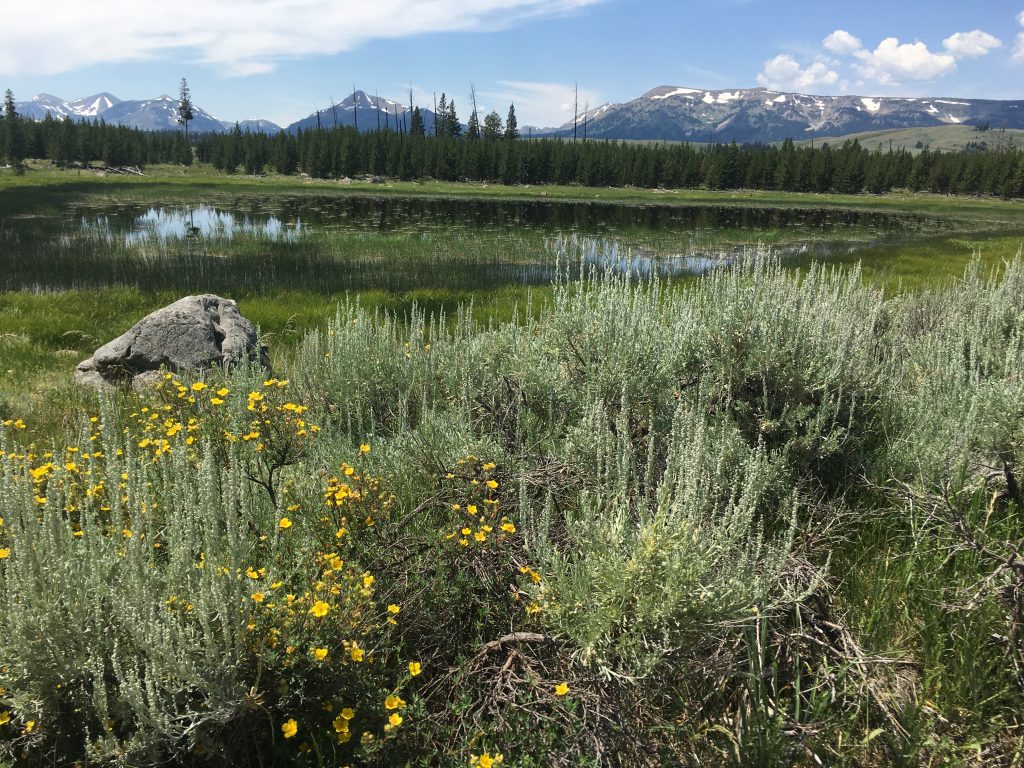
At the bottom, the trail meets a service road that rings the south side of the mountain. From here, you’re on the road for about 4 miles back to the trailhead. Watch for large, deep ground squirrel burrows. And there’s a slight climb to it, that becomes tiring. But always, beautiful scenery and incredible flora.
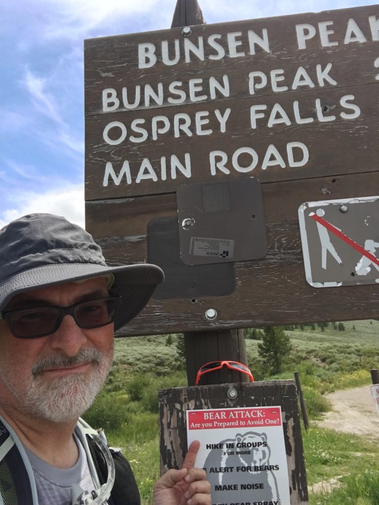
Made it out alive. Luckily, I never saw a grizzly here. Because my solo hiking without bear spray or even a bell was rather dumb, in retrospect.
Here’s what I did:
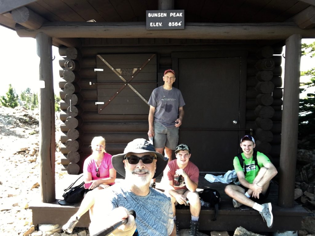
I was so enamored with this hike, I brought my posse back the next day: Mary, Mike, Jack and Matt. They loved it, too. It may well be the ultimate short-ish day hike. It’s accessible, and ridiculously beautiful, every step of the way. If you find yourself in that part of the world, I suggest you make time. You’ll thank me later.